Driving the remote road to Tayeparva La
Tayeparva La is a high mountain pass at an extreme elevation of 5,497m (18,034ft) above sea level. It is located in Zhongba County, within the Shigatse Prefecture of China's Tibet Autonomous Region. The pass sits in a very isolated area of western Central Tibet, positioned between two major high-altitude lakes: Renqing Xiubucuo and Ang Larencuo.
| Road facts: Tayeparva La | |
|---|---|
| Location | Zhongba County, Tibet (China) |
| Length | 12 km (7.45 miles) |
| Elevation | 5,497 m (18,034 ft) |
| Surface | Unpaved (4x4 required) |
| Hazard Level | Extreme (Altitude & Remoteness) |
Is the road to Tayeparva La unpaved?
Yes, the road to the summit is entirely unpaved. Due to its location in an extremely remote area with no facilities or fuel stations, a well-equipped 4x4 vehicle is mandatory for this journey. At nearly 5,500 meters, drivers and passengers must be prepared for very low oxygen levels and take precautions against Acute Mountain Sickness (AMS). The track is also seasonally closed during the winter months when snow makes the high-altitude terrain impassable.
How long is the road to Tayeparva La?
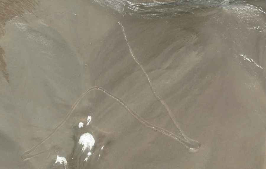
The road through the pass is 12 km (7.45 miles) long, running in a south-north direction. It connects the locations of Songmenduo and Shabulong. The drive is a true off-the-beaten-track experience, cutting through a desolate lunar-like landscape where self-sufficiency is key for any driver attempting the route.
Are there hairpin turns on the road to Tayeparva La?
The ascent toward the summit features several hairpin turns as the road nears the highest point of the pass. These tight bends are necessary to overcome the steep terrain of the Shigatse Prefecture mountains. Navigating these turns on a loose, unpaved surface at such a high altitude requires careful gear selection and steady driving to maintain traction.
Road suggested by: Hugh Wilson