Travel guide to the top of Tienpo La
Tienpo La is a high mountain pass at an elevation of 4.324m (14,186ft) above sea level, located in Lhorong County of the Qamdo Prefecture in the Tibet Autonomous Region of China.
Can I drive through Tienpo La?
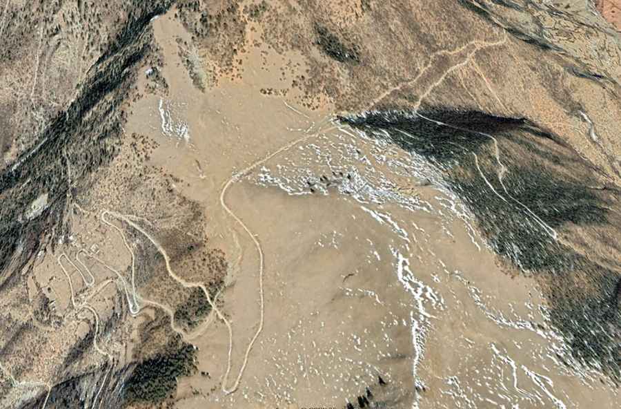
Located to the north-east of Malizhen town on the Nujiang River, the road to the summit is totally unpaved, in a state of clear disrepair. It’s called Former S303 Provincial Road. Due its dangerousness the road was bypassed by the paved S303 running along the Nu Kiang River. Attempting it in anything but a High-Clearance, preferably 4-wheel drive vehicle is a recipe for disaster. If your ideal road trip involves getting way off the beaten track then this is the drive for you.
How long is Tienpo La?
The road is not easy, with countless turns and 28 hairpin turns. The pass is 23.5 km (14.60 miles) long running from Xiayicun, on the S303 road, to Baili. The drive is steep, hitting a 30% of maximum gradient through some of the ramps. When the snow falls - which it does in the winter – things get tough and slippery. If you do choose this route please check up to date information.
Road suggested by: Hugh Wilson