Gydzhen Pass: The Ultimate Road Trip Guide
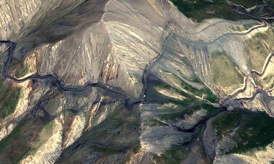
Gydzhen Pass is a high mountain pass at an elevation of 3,988m (13,083ft) above sea level, located in the Xinjiang Uygur Autonomous Region of China. It offers a remote route through the Kizilsu Kyrgyz Autonomous Prefecture, near the border with Tajikistan.
Where is Gydzhen Pass?
The pass is located in Akto County of Kizilsu Kyrgyz Autonomous Prefecture, in the western part of the country, near the border with Tajikistan.
🇨🇳 Gydzhen Pass Technical Data
| Elevation | 3,988m (13,083ft) |
| Coordinates | 38.48261, 75.82267 |
| Distance | 30 km (18.6 miles) |
| Hairpins | 28 Turns |
Is Gydzhen Pass paved?
While the road is totally paved and navigable by passenger vehicles, its proximity to the sensitive Tajikistan border means travelers may encounter checkpoints. The area is primarily inhabited by local Kyrgyz nomads and is used for regional logistics within the Pamir Plateau.
How long is Gydzhen Pass?
The road remains largely unknown to mainstream travelers as it does not appear on many standard digital maps. The road is 30km (18.6 miles) long, running west-east from Chat to Ghijek.
How challenging is the road to Gydzhen Pass?
The ascent to the summit is characterized by a sequence of 28 hairpin turns carved into the steep mountain face near the summit. Although the surface is in good condition, the hairpins section requires careful braking and attention.
Is the road to Gydzhen Pass treacherous in winters?
Situated in the Kunlun mountain range, the pass is located east of the Muztagh Ata (7,546m) massif. At nearly 4,000 meters, oxygen levels are low and weather conditions are unpredictable. Due to the high altitude, the road is subject to heavy snowfall and can be impassable during the winter months.
Road suggested by: Hugh Wilson