The brutally steep (36%) road to Pang La in Zogong County
Pang La is a high mountain pass at an elevation of 4.221m (13,848ft) above the sea level, located in Zogong County, is a county of the Chamdo Prefecture in the Tibet Autonomous Region of China.
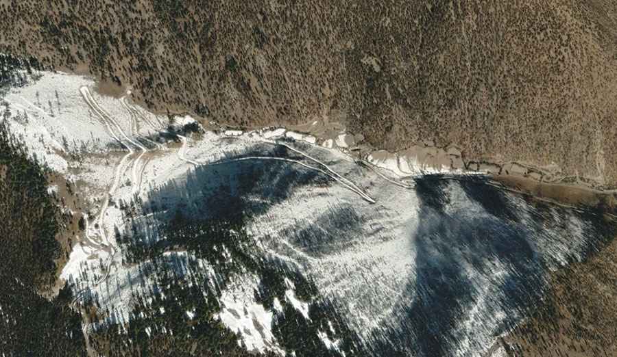
The road to the summit has it all. It’s unpaved, with hairpin turns, steep grades, narrow sections and dangerous drop offs. A 4x4 vehicle is recommended. If you're afraid of heights, it's probably best to keep your eyes forward.
The road to the summit is brutally steep, hitting a 36% of maximum gradient through some of the ramps. Starting in Purongcun, the ascent is 4.3 km (2.67 miles) long. Over this distance the elevation gain is 692 meters. The average gradient is 16.09%.
Road suggested by: Hugh Wilson