Driving the steep road through Men La
Men La is a high mountain pass situated at an elevation of 4,265m (13,992ft) above sea level. It is located in Zayul County, within the Nyingchi Prefecture of the southeastern Tibet Autonomous Region in China. This remote pass is part of the rugged landscape that characterizes the border regions of southeastern Tibet, where high altitudes and steep terrain are the norm.
| Road facts: Men La | |
|---|---|
| Location | Zayul County, Tibet (China) |
| Length | 10.8 km (6.7 miles) |
| Elevation | 4,265 m |
| Max Gradient | 8% |
| Surface | Unpaved (Dirt) |
| Hazard Level | High (Altitude & Remote location) |
Is the road to Men La paved?
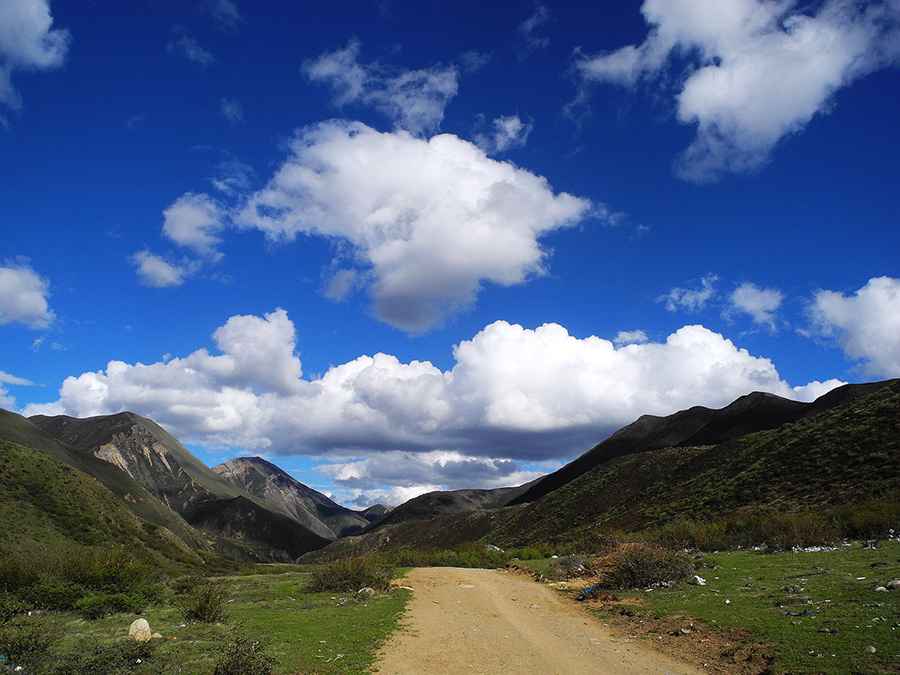
No, the road through the pass is entirely unpaved. As seen in recent captures, the surface consists of a narrow dirt track that winds through high-altitude meadows and rocky slopes. Due to the loose surface and the extreme elevation, a 4x4 vehicle is highly recommended. Drivers must be prepared for a technical drive with no safety barriers and unpredictable weather conditions that can affect traction at any time.
How long is the road through Men La?
The road through the pass is 10.8 km (6.7 miles) long, running in a south-north direction. It connects Meixue in the south with Shadong Farm in the north. This stretch serves as a vital but very remote link in Zayul County, navigating a high mountain environment where the notorious lack of oxygen tests both drivers and vehicle engines.
What is the maximum gradient of the road to Men La?
The drive is consistently steep, with certain ramps hitting a maximum gradient of 8%. While the average slope might seem manageable on paper, these steeper sections on a dirt surface at over 4,000 meters of altitude make the ascent a significant challenge. The climb requires steady power delivery and careful navigation of the natural twists in the terrain.
Road suggested by: Hugh Wilson
Pic: 程亮