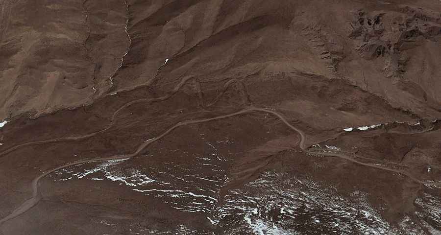
Regong La: Driving the Unpaved Road between Jomo Chu and Mang Chu
At an elevation of 5,016m (16,456ft) above sea level, Regong La is a high-altitude mountain pass located in Namling County, within the Shigatse prefecture of the Tibet Autonomous Region, China. This crossing serves as a remote link between the Jomo Chu and Mang Chu valleys, traversing a barren high-plateau environment.
| Road facts: Regong La | |
|---|---|
| Location | Namling County, Tibet, China |
| Elevation | 5,016 m (16,456 ft) |
| Length | 29.4 km (18.2 miles) |
| Max Gradient | 10% |
| Surface | Unpaved / Dirt and Rock |
How long is the road to Regong La?
The road spans 29.4 km (18.2 miles) and runs west-east, connecting the settlements of Redangxiang and Suojinxiang. Despite the relatively short distance, driving the full length without stops typically takes between 2 and 3 hours. This slow pace is due to the unpaved surface, which consists of loose dirt and rocky sections that prevent high-speed transit. The track is subject to erosion and washouts, especially during the summer monsoon season.
Is the road to Regong La steep?
The ascent is technically demanding, with several ramps hitting a maximum gradient of 10%. Maintaining traction on these unpaved sections requires a 4x4 vehicle. At an elevation exceeding 5,000 meters, internal combustion engines suffer from a significant loss of oxygen, leading to reduced power output. Drivers should use low-range gears to manage both the climb and the descent, as thin air also reduces the effectiveness of engine braking.
What are the driving hazards at 5,016 meters?
The primary hazards are altitude sickness (AMS) and extreme isolation. There are no facilities, repair shops, or fuel stations along the 29.4 km stretch. Self-sufficiency is mandatory. The road is narrow in several sections, and meeting oncoming traffic—often local trucks or herders—requires maneuvering on soft shoulders with no safety barriers. Weather conditions can change rapidly, with snow and sub-zero temperatures possible even in mid-summer. Ensure your vehicle is equipped with a full-size spare tire and sufficient water and fuel supplies.
When is Regong La accessible?
Due to its extreme altitude, Regong La is impassable during the winter months due to heavy snow and ice. The road is generally accessible from late June to September, though local conditions should be verified before departure. In the Namling region, the terrain is prone to landslides after heavy rain, which can block the track for days. Always check for local updates in Redangxiang before attempting the crossing to Suojinxiang.
Road suggested by: Hugh Wilson