Road trip guide: Conquering the infamous Tangkar La
Tangkar La is an international high mountain pass located on the border of India and China.
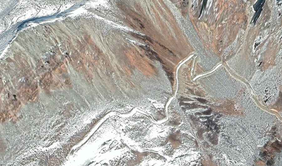
Where is Tangkar La?
The pass links North Sikkim (a district of the Indian state of Sikkim) and Yadong County (in the Tibet region of China, part of its Shigatse Prefecture). There are 2 separates roads to the summit, but the road does not cross the border.
How to get to Tangkar La in India?
Set high on the scenic Yumthang Valley, on the Indian side, the road to the summit is totally unpaved. A 4x4 vehicle is required. It tops out at 4.439m (14,563ft) above the sea level. It’s a military road, and the access is closed to civilians.
How to get to Tangkar La in China?
On the Chinese side, the road to the summit is totally unpaved. A 4x4 vehicle is required. It tops out at 4.778m (15,675ft) above the sea level. The road is brutally steep, hitting a 35% of maximum gradient through some of the ramps. Starting at Suoguotang, the ascent is 5 km (3,1miles) long. Over this distance the elevation gain is 762 meters. The average gradient is 15.24%. It’s a military road, and the access is closed to civilians.
Road suggested by: Hugh Wilson