Zhilung La: A technical 4x4 climb through the 20% ramps of Tibet
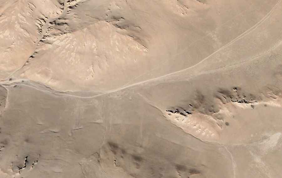
Zhilung La, also known as Drilung La, is a high mountain pass at an elevation of 4,970 meters (16,305 ft) above sea level, located in the Ngari Prefecture of the Tibet Autonomous Region, in China. Tucked into an isolated northern mountain sector, the pass is crossed by a steep, completely unpaved backcountry track.
| Road facts: Zhilung La | |
|---|---|
| Location | Ngari Prefecture, Tibet (China) |
| Elevation | 4,970 m (16,305 ft) |
| Length | 23.1 km (14.35 miles) from Gê'gyai |
| Max Gradient | 20% |
| Surface | Unpaved (Loose rock and scree) |
Where does the track to Zhilung La run?
The unpaved mountain route covers 23.1 kilometers (14.35 miles), running south to north from the town of Gê'gyai toward Yakemi Lake. The single-lane track cuts through the high desert valleys of northern Ngari, reaching its highest point at the 4,970-meter summit. The road consists of raw dirt and gravel used by local nomadic herders, completely lacking roadside infrastructure or facilities.
How difficult are the steep sections of Zhilung La?
The track features several continuous climbing sections with sustained gradients hitting a maximum of 20%. The surface is composed of loose mountain rock shards, deep dirt ruts, and unstable scree that slides under vehicle weight. Due to the severe incline and low-traction ground, a high-clearance 4x4 vehicle with a low-range transfer case is required to prevent tires from spinning out on the debris, especially since the 4,970-meter altitude cuts engine torque significantly. The path lacks lateral guards or safety barriers.
Is the Zhilung La road open in winter?
Due to its extreme altitude in northern Tibet, the pass is completely blocked by heavy snow drifts and thick ice sheets for most of the year, remaining entirely impassable. The remote lane receives no winter maintenance or clearance services. During the brief summer opening window, sudden dust storms or high-altitude mountain fog can reduce driving visibility instantly, and the spring thaw turns the clay dirt base into slick mud traps that expose sharp volcanic stones.
Road suggested by: Hugh Wilson