The inhumane climb to Changlashan Pass with 37% ramps
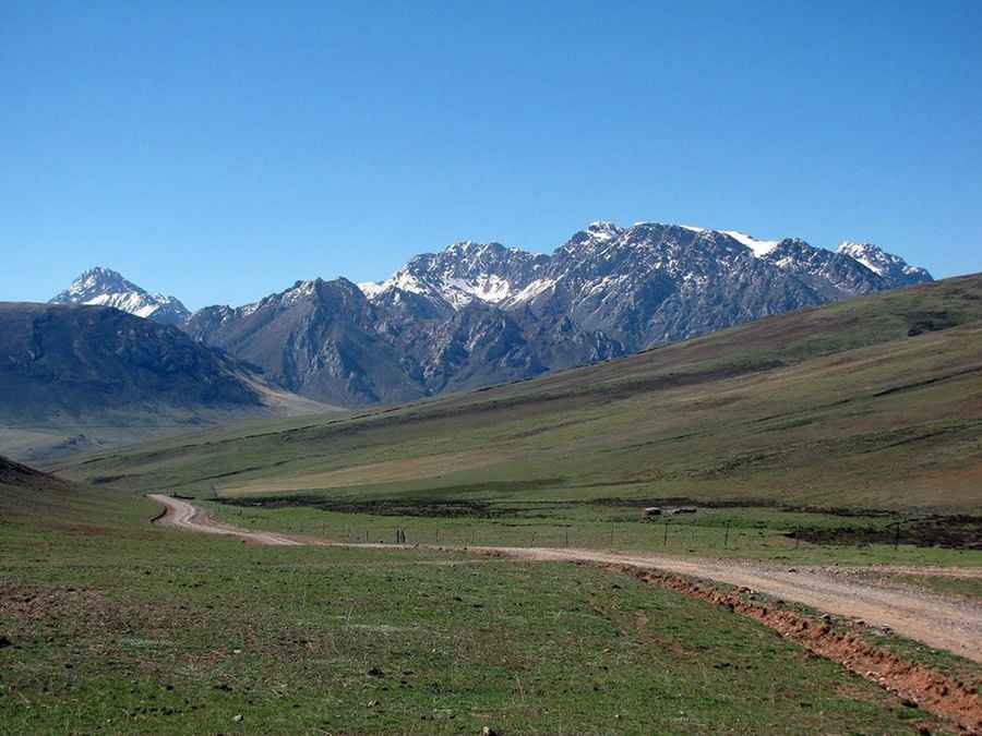
Changlashan Pass is a high mountain pass at an elevation of 4,708 m (15,446 ft) above sea level, located in Zadoi County, in the southwest of Qinghai Province, China, bordering the Tibet Autonomous Region to the south.
Where is Changlashan Pass?
The pass, also known as Chang La Shan Pass, is located in the southern part of the country.
How challenging is Changlashan Pass?
The road to the summit is totally unpaved. It’s very curvy, with hundreds of turns and steep, brutally steep sections, hitting a 37% maximum gradient through some of the ramps. At this elevation, oxygen levels drop, and visitors need to take adequate precautions against AMS (Acute Mountain Sickness).
How long is Changlashan Pass?
The pass is 13.8 km (8.57 miles) long, running from Shisu Station to Longmada. Due to its dangerous conditions (turns, lack of maintenance, dangerous drops, and steep parts) the road was bypassed by the paved S309 route from Yushu to Zadoi. However, the old, unpaved Changlashan Pass remains the ultimate challenge for 4x4 enthusiasts, offering far more spectacular and isolated views than the modern highway.
Road suggested by: Hugh Wilson
Pic: https://asian-alpine-e-news.com/asian_alpine_e-new_issue_no33.pdf