Puling La: Driving the high-altitude desert tracks of Zanda
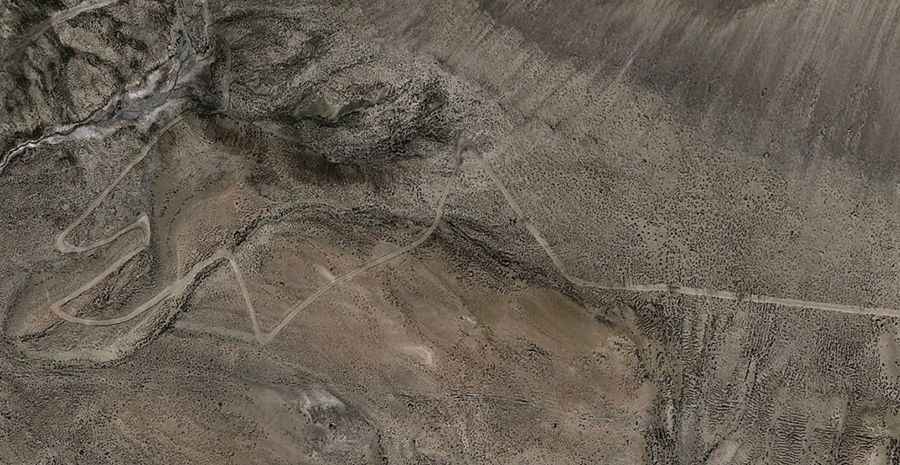
Puling La is a high mountain pass at an elevation of 4,954 meters (16,253 ft) above sea level, located in Zanda County, within the Ngari Prefecture of the Tibet Autonomous Region, in China. Set high in the arid highlands of the Tibetan Plateau, the pass is crossed by a remote, single-lane desert track.
| Road facts: Puling La | |
|---|---|
| Location | Zanda County, Ngari, Tibet (China) |
| Elevation | 4,954 m (16,253 ft) |
| Length | 18.9 km (11.74 miles) from Nabu Zelagebo |
| Max Gradient | 12.0% |
| Surface | Unpaved (Fine desert dust and shale) |
How long is the unpaved road through Puling La?
The unpaved mountain road is 18.9 kilometers (11.74 miles) long, climbing from Nabu Zelagebo into the high ridge lines of Zanda County. The single-lane track runs across an arid high-altitude desert environment, topping out at the 4,954-meter summit before continuing west toward an adjacent mountain crest that reaches 4,986 meters above sea level. The route consists of raw dirt and has no paved sections or roadside infrastructures.
What are the driving hazards on the Puling La track?
The entire 18.9-kilometer track is unpaved, featuring a low-grip surface layer of loose desert dust, sand, and sharp volcanic shale. The road climbs via steep ramps hitting maximum gradients of 12%, where the extreme 4,950-meter altitude cuts engine power output significantly and increases radiator stress. The narrow lane lacks side safety guardrails, and strong alpine winds frequently blow fine sand across the mountain flanks, reducing driving visibility to a few meters.
Is the road to Puling La open in winter?
Due to its extreme altitude on the Ngari Prefecture highlands, the pass faces severe freezing weather and is completely blocked by deep snow drifts and ice from October until June, remaining entirely impassable. The remote track receives no winter clearance or maintenance services. During the short summer months, sudden high-altitude storms can instantly wash out the dirt shoulders or turn the fine dust into thick, slick mud ruts across the track profile.
Road suggested by: Hugh Wilson