Chipchap Pass: Driving the remote Wuersisan-Radome Road in Xinjiang
Chipchap Pass is an extreme high-altitude mountain pass at an elevation of 5,301m (17,391ft) above sea level, located in the Hotan Prefecture of the Xinjiang Autonomous Region, China. Situated in a sensitive border area, this pass is one of the highest navigable points in the region.
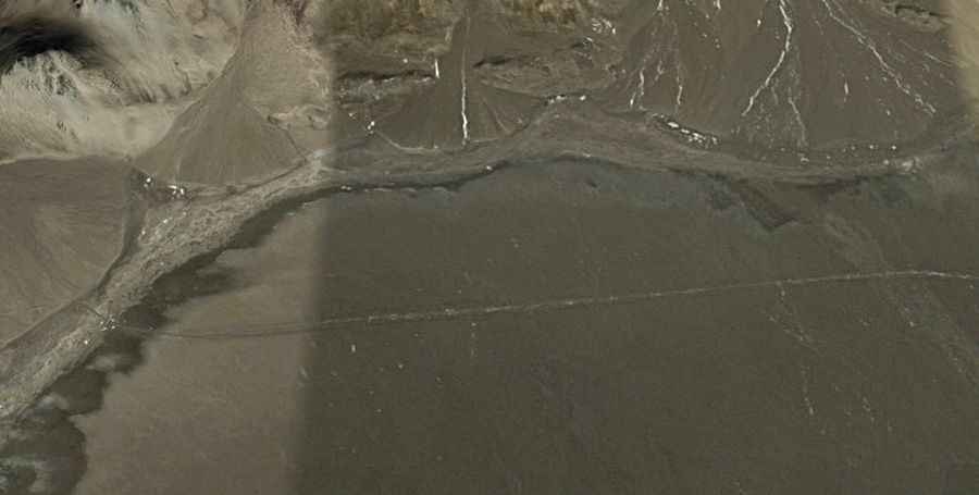
The road to the summit, known as the Wuersisan-Radome Road, is a long and punishing unpaved track. This route is strictly for self-sufficient 4x4 expeditions. Due to its strategic location and extreme environment, there are no facilities, medical aid, or emergency services along the entire stretch. Mechanical reliability and high-altitude experience are mandatory.
| Road facts: Chipchap Pass | |
|---|---|
| Elevation | 5,301m (17,391ft) |
| Length | 132.3 km (82.2 miles) |
| Surface | Totally Unpaved / Dirt |
| Max Gradient | 7% |
| Starting Point | 219 Provincial Road (G219) |
How challenging is the Wuersisan-Radome Road to Chipchap Pass?
Starting from the 219 Provincial Road, the journey to the summit covers 132.3 km (82.2 miles) of unpaved terrain. The track is not exceptionally steep, with a maximum gradient of 7%, but the difficulty lies in the sustained high altitude. Most of the drive takes place above 4,500 meters, which puts immense strain on vehicle engines and cooling systems. The surface is raw dirt and gravel, which becomes dangerously slippery during snow or rain.
What are the weather hazards at Chipchap Pass?
The weather at Chipchap Pass is among the most extreme in China. During winter, temperatures can plummet as low as -55°C (-67°F). The area is constantly battered by strong, icy winds that can cause rapid whiteout conditions. Even in the summer, weather changes are unpredictable and violent. Before attempting this route, drivers must be prepared for sub-zero conditions and have enough supplies to survive a multi-day delay if the road becomes blocked by snow.
Why is driving to Chipchap Pass restricted?
Because of its proximity to international borders and military zones, the Wuersisan-Radome Road is often subject to travel restrictions. It is a land of extreme exposure and isolation. There are zero civilian facilities; you will not find electricity or water for the entire 132 km drive. This is a high-stakes mountain route where oxygen is scarce and any error can be life-threatening due to the lack of outside assistance.
Road suggested by: Hugh Wilson