How to drive the S514 Road to Nye La in Tibet
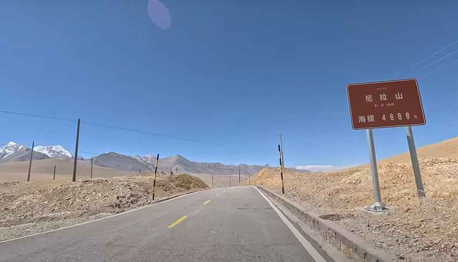
Nye La is a high mountain pass at an elevation of 4,925m (16,158ft) above sea level, located in Dinggyê County, within the Xigazê prefecture of the Tibet Autonomous Region, in China.
| Road facts: Nye La | |
|---|---|
| Elevation | 4,925 m (16,158 ft) |
| Road Name | S514 Provincial Road |
| Length | 28.6 km (17.77 miles) |
| Surface | Paved / Asphalt |
Where is the Nye La pass located?
The pass is situated within the Qomolangma National Nature Reserve, a protected area bordering Nepal's Sankhuwasabha and Taplejung Districts to the south, and the Indian state of Sikkim to the southeast. The road passes near the Zong Co Lake.
Is the road to Nye La paved?
The road to the summit is called S514. It is fully paved. Despite the high altitude and the rugged terrain of the Himalayas, the road is open to passenger vehicles. The road has significant gradients and sharp curves as it ascends the mountain range.
How long is the S514 through Nye La?
The road through the pass is 28.6 km (17.77 miles) long. It runs in a north-south direction, connecting the localities of Sa'erxiang and Ri'og.
What are the environmental conditions at the summit?
Set high in the Ama Drima mountain range, weather conditions at Nye La can change rapidly. The pass is subject to heavy snowfall and freezing temperatures for a large part of the year.
Road suggested by: Hugh Wilson
Pic&video: Bob Sun