Driving the high-altitude G317 Highway through Langlu La in Tibet
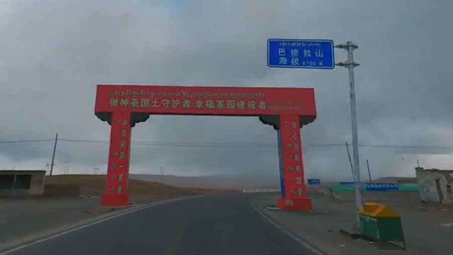
Langlu La is a high mountain pass at an elevation of 4,829m (15,843ft) above sea level, located in the Seni District of Nagqu, within the Tibet Autonomous Region of China. The pass is traversed by the China National Highway 317 (G317), also known as the Northern Sichuan-Tibet Highway.
| Road facts: Langlu La | |
|---|---|
| Location | Seni District, Nagqu (Tibet) |
| Elevation | 4,829 m (15,843 ft) |
| Road Name | China National Highway 317 (G317) |
| Length | 49.5 km (30.7 miles) |
Where is the road to Langlu La?
The road is located in the southwestern part of China, connecting the city of Nagqu with the settlement of Kormang. The G317 highway runs north of the more heavily traveled G318 route, crossing a barren, high-altitude desert environment where cold gale winds hit vehicles sideways across the plateau.
How long is the drive to Langlu La?
The road across the pass is 49.5km (30.7 miles) long running west-northeast. Although the asphalt is fully paved, the transit takes around one hour under clear conditions due to the physical restrictions of the altitude, which forces a lower average speed for heavy trucks and commercial vehicles.
Is the road to Langlu La difficult?
The main challenge is the extreme altitude of 4,829 meters rather than the road surface. The maximum gradient reaches 7%, which is relatively mellow but puts massive strain on cooling systems because engines lose roughly 30% of their power due to the thin air and lack of oxygen. Overtaking maneuvers require long, flat stretches. Additionally, the route has no service stops or fuel stations between Nagqu and Kormang, meaning a mechanical breakdown or empty tank leaves you stranded in a freezing environment.
What is the best time to drive Langlu La?
The safest driving window is from late spring through early autumn when the tarmac is mostly clear of snow. During winter, the pass remains technically open but experiences sudden short-term closures due to heavy snow blizzards and black ice. High winds on the plateau constantly push snow drifts onto the road lanes, reducing tire traction to zero and turning the pass into a trap during sudden Himalayan storms.
Road suggested by: Hugh Wilson
Pic: Walk China