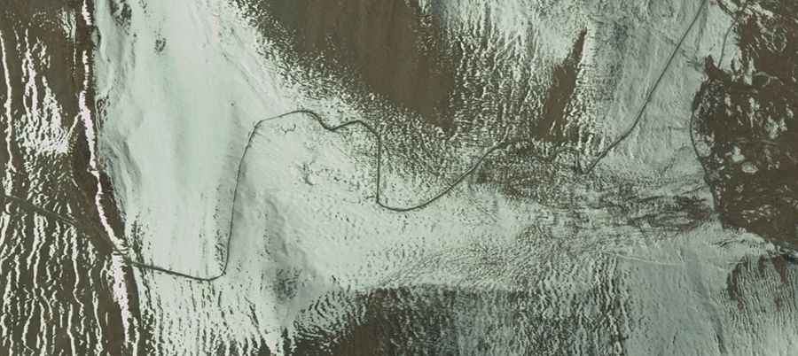
A Most Tricky Scenic Drive To Kura La
Kura La is a high mountain pass at an elevation of 5.395m (17,700ft) above the sea level, located on the boundary between Ngamring and Nyalam counties, in Xigazê in the Tibet Autonomous Region of China.

Located south of Riwuqixiang (Riwoche),a town on the Yarlung Tsangpo river, the road to the summit is totally unpaved. It’s called 209 Provincial Road (S209). A 4x4 vehicle is required. Always check the weather forecast before you start your journey: adverse conditions are common. Remember this is a mountainous area, climbing up a high mountain, with a notorius absence of oxygen. Altitude and extreme weather are always a factor.
The road is 43.1 km (26.78 miles) long, running from Suozuoxiang (in Nyalam County) to Riwuqixiang (Ngamring County). If you do choose this route please check up to date information. The road is very steep, hitting a 25% of maximum gradient through some of the ramps. Everest and Cho Oyu are visible from the pass.
Road suggested by: Hugh Wilson