Tsogugye La: courage is required to drive to the summit
Tsogugye La is a high mountain pass at an elevation of 4.999m (16,400ft) above the sea level, located on the boundary between Qusum and Gyaca counties, under the administration of the prefecture-level city of Shannan in the south-east of the Tibet Autonomous Region, China.
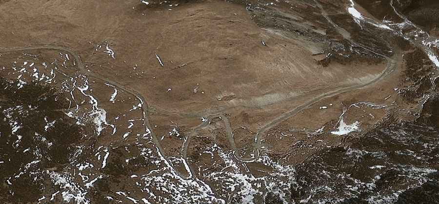
The road to the summit is totally unpaved with dozens of turns and twists that are so stiff and narrow that one may feel dizzy only by looking at it. When the snow falls -which it does in the winter- things get tough and slippery.
The area is very remote. The road to the summit is pretty steep, hitting an 11% of maximum gradient through some of the ramps. Starting at 306 Provincial Road (S306), near Lasuixiang, the ascent is 47.7 km (29.63 miles) long. Over this distance the elevation gain is 1.716 meters. The average gradient is 3.59%. Remember this is a mountainous area, climbing up a high mountain, with a notorius absence of oxygen. Altitude and extreme weather are always a factor.
Road suggested by: Hugh Wilson