Tug La: Driving the high-altitude X301 cliff road in Tibet
Located in the heart of Nagarzê County, within the southeastern Tibet Autonomous Region, Tug La is a high mountain pass reaching an extraordinary elevation of 5,209m (17,089ft) above sea level. This pass is situated just north of the pristine Puma Yumco Lake, one of the highest altitude lakes on the planet, making it a pinnacle destination for extreme high-altitude driving.
Driving over Tug La is a journey into a world of "notorious absence of oxygen." At over 5,200 meters, you are deep in the thin-air zone where every breath is a struggle and every engine horse-power is drastically reduced. The landscape is desolate, raw, and dominated by the vast Tibetan plateau. This is a technical route where the environment dictates the rules of travel, and only the most prepared vehicles and drivers should attempt the crossing.
| Road facts: Tug La (X301) | |
|---|---|
| Location | Nagarzê County, Tibet, China |
| Elevation | 5,209 m (17,089 ft) |
| Length | 43.2 km (26.8 miles) |
| Road Name | 301 County Road (X301) |
| Hazard Level | Extreme (Cliff road & Hypoxia) |
How challenging is the X301 road to Tug La?
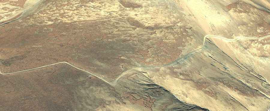
The road to the summit is totally unpaved and known locally as the 301 County Road (X301). Spanning 43.2 km (26.84 miles), the route runs from the high-altitude settlement of Pumajiangtangxiang to Degai. This is not a drive for the faint of heart; it is a classic "cliff road" with narrow sections and dangerous drop-offs that offer no safety barriers and very little room for maneuver. The surface consists of loose gravel and rocks that can shift under the weight of a heavy vehicle.
A high-clearance 4x4 vehicle is mandatory. The climb is relentless, and because the air is so thin, cooling systems can easily overheat while the engine struggles to maintain torque. Drivers must be extremely cautious of the "edge factor"—the psychological strain of driving next to sheer cliffs for kilometers on end. As with all remote Tibetan routes, remember that overland travel in China requires specific permits and a mandatory guide to clear military and provincial checkpoints.
Survival tips for the "Death Zone" altitude
At 5,209 meters, Altitude Sickness (AMS) is a real and immediate threat. You are driving at an elevation where the human body cannot properly acclimatize without significant time. Symptoms such as severe headaches, dizziness, and confusion can impair your driving ability in a place where one mistake on a cliff edge is fatal. It is vital to carry medical-grade oxygen and have a clear descent plan if any passenger shows signs of distress.
The weather on Tug La is unpredictable. High winds, sub-zero temperatures even in summer, and sudden snow squalls can turn the X301 into a slippery trap. There are absolutely no facilities, fuel stations, or help available between Pumajiangtangxiang and Degai. Self-sufficiency is your only lifeline: carry double spare tires, recovery tracks, and enough food and water to survive an emergency bivouac in the most extreme conditions. Tug La is a world-class adventure, but it demands absolute respect for the high-altitude wilderness.
Road suggested by: Hugh Wilson