How to drive the challenging mountain road to Gang La in Tibet?
Gang La is a high mountain pass at an elevation of 4.824m (15,826ft) above sea level, located in Biru County, the most populated county within Nagqu of the Tibet Autonomous Region, in China.
Where is Gang La?
The pass, also known as Gangli Kundo La, is located east of Nagqu, in the south-central part of the country.
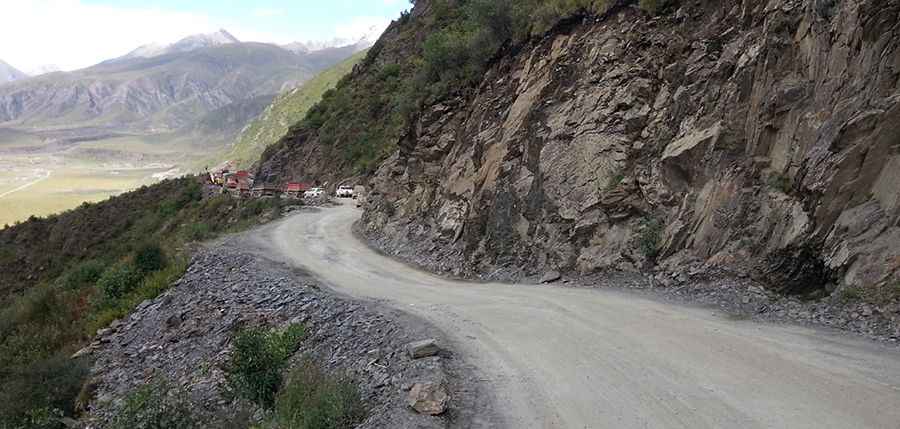
Is Gang La paved?
The road to the summit is mostly paved. It’s called G317 (China National Highway 317). It comprises steep sections and narrow parts. There are a few hairpin turns near the summit.
How long is the road through Gang La?
The pass is 18.2 km (11.30 miles) long, running west-east from Gangla Daoban to Gangduocun. At this elevation, the road is usually impassable in winters.
Road suggested by: Hugh Wilson
Pic: Paul Wood