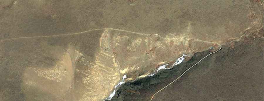
Driving the remote road to Trel La
Trel La, also known as Tsay La, is a high mountain pass at an elevation of 5,441m (17,851ft) above sea level. It is located on the border between Nagarzê and Lhozhag counties, in the southeastern part of the Tibet Autonomous Region in China. This remote mountain pass crosses the rugged Himalayan range and offers breathtaking views of the surrounding peaks and the scenic Lake Langbu.
| Road facts: Trel La | |
|---|---|
| Location | Lhozhag / Nagarzê, Tibet (China) |
| Length | 18.3 km (11.3 miles) |
| Elevation Gain | 1,365 m |
| Avg. Gradient | 7.45% |
| Hairpin Turns | 19 |
| Hazard Level | Very High (Altitude & Steepness) |
Is the road to Trel La unpaved?
The road to the summit is entirely unpaved. Due to its high-altitude location and the nature of the terrain, a 4x4 vehicle is required. Drivers must be prepared for extreme weather conditions and a notorious lack of oxygen that tests both human endurance and engine performance. The road is very remote, and its loose gravel surface requires full concentration.
How many hairpin turns are on the road to Trel La?
The climb is characterized by its winding nature, featuring 19 sharp hairpin turns. These twists are essential for gaining elevation but pose a challenge to drivers, especially when combined with the unpaved surface and the potential for extreme weather at any time of the year.
How long is the road to Trel La?
Starting from the settlement of Zhemo, in Lhozhag County, the road to the summit is 18.3 km (11.3 miles) long. Over this distance, the elevation gain is a significant 1,365 meters. This results in a steady and demanding climb through the high-altitude landscape of Shannan, eventually leading to one of the highest navigable points in the region.
Road suggested by: Hugh Wilson