Lanak La: Driving the high-altitude border track in Aksai Chin
Lanak La is a high mountain pass at an elevation of 5,495m (18,028ft) above sea level, situated in the disputed Aksai Chin region. This pass sits on the territorial line between India (Ladakh) and China (Tibet), making it one of the most politically sensitive and geographically isolated mountain crossings in the world.
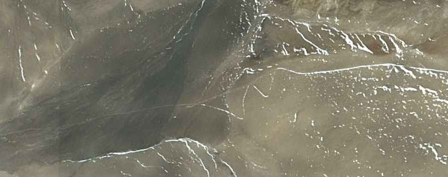
The road to the summit is a primitive, unpaved track used primarily for strategic and military purposes. Located on the desolate Changtang plateau, the route offers no support, services, or civilian infrastructure. Access is restricted and requires special permits, as the pass lies directly on the Line of Actual Control (LAC).
| Road facts: Lanak La | |
|---|---|
| Elevation | 5,495m (18,028ft) |
| Location | Aksai Chin (Disputed India/China border) |
| Length | 206 km (128 miles) from G219 Road |
| Surface | Unpaved / Desert Track |
| Vehicle Required | Expedition-ready 4x4 |
How do you reach Lanak La from the G219 Road?
The journey to Lanak La is an extreme expedition. The track spans 206 km (128 miles), running east-west from the paved G219 Road toward Qianglong Gongma. The terrain is relatively flat across the plateau but is composed of loose sand, gravel, and river crossings that can change daily. There is no marked road for long stretches; drivers must follow existing tire tracks across the high-altitude desert.
What are the main hazards of driving in Aksai Chin?
The primary danger is the extreme altitude. At 5,495 meters, oxygen levels are roughly half of those at sea level, which can cause severe altitude sickness and engine failure. The weather is brutal, with temperatures staying below freezing for most of the year and intense winds sweeping across the plateau. Additionally, the extreme isolation means you must carry all fuel, water, and spare parts, as there are no civilian facilities within hundreds of kilometers.
Is the Lanak La pass open to civilians?
Access to Lanak La is highly restricted due to the ongoing border dispute between India and China. While it was historically an important trade route, it is now a militarized zone. Travelers must obtain high-level military permits, which are rarely granted to foreign nationals. The pass links the Ladakh region in the west with Rutog County in Tibet to the east, but the actual crossing is often closed to all but authorized personnel.
Road suggested by: Hugh Wilson