How to drive to Nakole in the Tibet Autonomous Region?
Nakole is a high mountain pass at an elevation of 5,510m (18,077ft) above sea level, located in Coqên County, China. It is one of the highest roads in the country, situated within the remote and high-altitude desert of the Tibetan Plateau.
Where is Nakole?
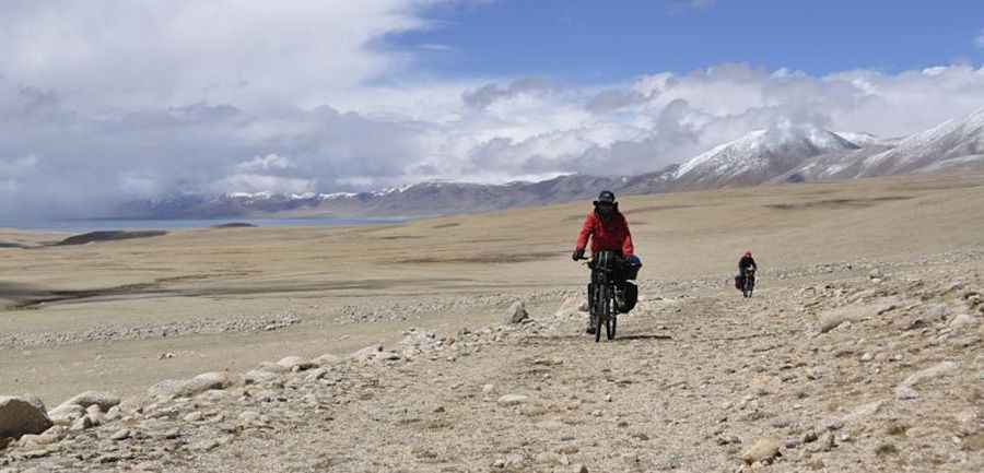
The pass is located in the southeast of Ngari Prefecture, in the western part of the Tibet Autonomous Region. It sits in a desolate area between the Gangdise and the Kunlun mountain ranges, in a region characterized by high-altitude salt lakes and nomadic settlements.
🇨🇳 Nakole Pass Technical Data
| Elevation | 5,510m (18,077ft) |
| Starting Point | Provincial Road S206 |
| Distance | 90 km (55 miles) |
| Nearby Feature | Jiesa Lake (Gyesar Tso) |
Is the road to Nakole unpaved?
The road to the summit is totally unpaved and consists of a gravel and rocky track. In several sections, the path is not clearly marked, requiring navigation skills and a high-clearance 4x4 vehicle. Due to the extreme altitude, the notorious lack of oxygen affects both engine performance and physical endurance.
How long is the road to Nakole?
Starting from the 206 Provincial Road (S206), the road to the summit is 90km (55 miles) long. The track traverses the Changtang Plateau, offering views of Jiesa Lake (Gyesar Tso), a large high-altitude lake situated at approximately 4,990m above sea level.
When is the road to Nakole open?
Accessibility is largely limited to the summer season, typically from July to September. For the rest of the year, the pass is impassable for standard vehicles due to extreme cold, heavy snowfall, and ice. There are no facilities such as medical aid or fuel stations along this 90km stretch.
Road suggested by: Hugh Wilson
Pic: Juntao JIANG