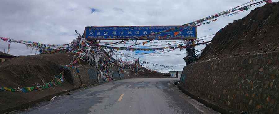
Tsola La: The 4,500m Threshold of the Friendship Highway
Tsola La is a high mountain pass at an elevation of 4,553m (14,937ft) above sea level, located in Lhatse County, Shigatse Prefecture. Situated in the Tibet Autonomous Region of China, it serves as a critical transition point on the legendary route toward the Himalayas.
Where is Tsola La?
The pass, also known as Yulong La or Tso La, is located in the western part of Lhatse. The road through the summit is part of the China National Highway 318 (G318), famously known as the Friendship Highway. It connects the central Tibetan plateau with the high-altitude valleys that lead toward Everest and the Nepal border.
How long is the road to Tsola La?
The pass is 32.8 km (20.3 miles) long, running east-west from Resaxiang to Xiqinxiang.
- Surface: The road is fully paved and maintained as a major national artery.
- Gradient: While the average incline is manageable, the road is long and arduous, crossing through remote, treeless areas where the weather can change in minutes.
- Altitude: At 4,553m, it is often the first major test for travelers heading west from Shigatse. It serves as an essential acclimatization point before reaching the 5,000m+ giants like Gyatso La.
Driving Conditions and Scenery
The summit offers breathtaking scenery of the Transhimalayan range, characterized by vast, desert-like mountains and an endless blue sky.
- Weather: Due to its high elevation, the pass is usually impassable from October to June due to heavy snow and ice. The wind at the summit is notoriously fierce, often ripping through the thousands of colorful prayer flags left by pilgrims.
- Preparation: Although the road is paved, the remoteness of Lhatse County means you must be prepared for extreme cold and low oxygen levels. Ensure your vehicle is in top condition and you have adequate supplies for high-altitude travel.
Road suggested by: Jorge Manuel Gómez Sánchez
Pic: 武书昆