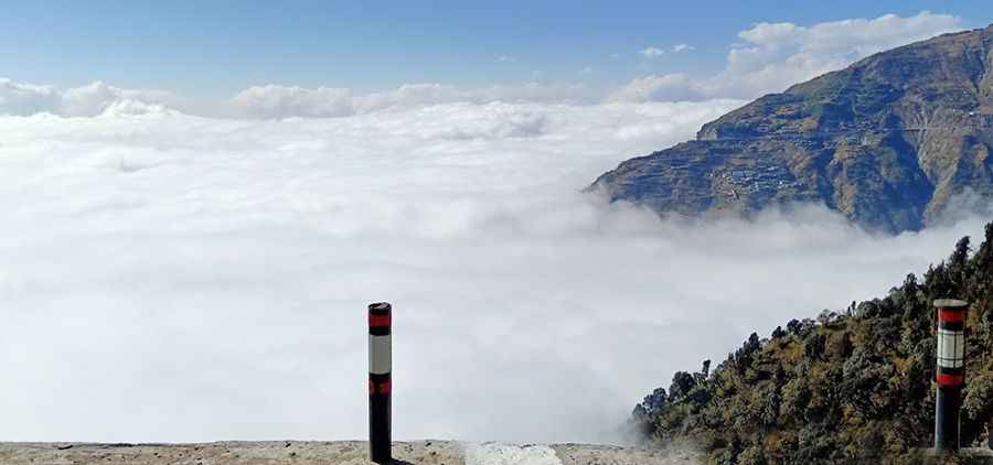
Driving the S305 through Aba La: The 5.190m high-altitude desert of Tibet
Located in the Seni District of Tibet, the S305 Provincial Road is one of the most demanding high-altitude transits in Western China. Stretching for 413 km (256 miles) between the G109 near Nagqu and the G318, this asphalted route crosses the vast Tibetan plateau. Its highest point is the Aba La pass, reaching a staggering elevation of 5,190m (17,027ft) above sea level. It is a journey defined by extreme thin air, relentless crosswinds, and a level of isolation that tests both driver focus and vehicle reliability.
| Road facts: S305 & Aba La Pass | |
|---|---|
| Location | Nagqu, Tibet Autonomous Region (China) |
| Max Elevation | 5,190 m (17,027 ft) at Aba La |
| Length | 413 km (256.6 miles) |
| Surface | Paved Asphalt |
| Hazards | Extreme altitude, gale-force winds, isolation |
What makes the S305 road through Aba La so dangerous for engines?
The 413 km transit along the S305 is a mechanical endurance test. Operating at a sustained elevation of over 4,500 meters, culminating at the 5,190m summit of Aba La, means your engine will face a notorious absence of oxygen. Atmospheric pressure at this height is nearly half of that at sea level, causing a massive drop in horsepower and increased thermal stress. Even though the road is mostly asphalted and remarkably straight, the constant incline toward the pass will push your cooling system to its limit. If your vehicle isn't in top mechanical shape, the combination of thin air and low-grade fuel often found in remote Tibet will cause vapor lock or complete engine failure.
How to handle the gale-force winds and weather of the Tibet plateau?
The high-altitude plains of Nagqu are a "dead zone" for stable weather. The Aba La pass is subject to strong, unpredictable winds all year round that can easily buffet a high-profile furgoneta or truck off its line. Even in the middle of summer, sudden blizzards can turn the dry asphalt into a slick, icy trap in minutes. The psychological challenge of the S305 is its "straightness"; the monotony of the plateau leads to driver fatigue, which is compounded by the early stages of altitude sickness (AMS). Do not attempt this drive if you have any respiratory or heart conditions, as there is zero civilian medical infrastructure for hundreds of kilometers.
What is the best driving strategy for the long Nagqu transits?
Navigating the 413 km between the G109 and G318 requires a strictly logistical approach. You must ensure your vehicle is carrying extra fuel and essential spare parts, as the isolation is absolute. On the long, straight sectors of the S305, maintain a steady speed to manage fuel consumption in the thin air, but stay alert for sudden frost heaves that can damage your suspension. When descending from the 5,190m peak of Aba La, use heavy engine braking to control your speed, as the thin air reduces the cooling efficiency of your brake discs. In this part of Tibet, the road is a battle of attrition—monitor your oxygen levels, watch the wind direction, and never underestimate the mechanical toll of the high-altitude desert.
Road suggested by: Jorge Manuel Gómez Sánchez
Pic: suml singh