An Explorer's Guide to the Qinghai-Tibet Highway
Located in China, the Qinghai-Tibet Highway is one of the highest highways in the world, with an average elevation of above 4,000 meters.
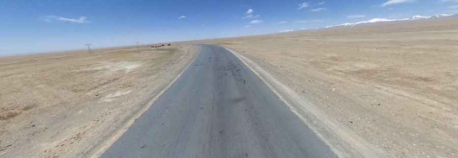
The road is 1.937km (1,203 miles) long, running from Xining, the capital city of Qinghai Province in the eastern part of Qinghai-Tibet plateau to Lhasa, the capital of Tibet Autonomous Region. The road is part of the China National Highway 109 which connects Beijing with Lhasa. Along the road, the landscape is majestic with all the prairie, salt lakes, mountains, deserts and other natural landscape.
It’s totally paved. The road is pretty remote and desolate and traffic accidents are common. It is the most important gateway from northwestern China to Tibet. The best time is from May to September for tourists. The road is never too steep: slope is less than 7%. About 980 km of the road is more than 4,500 meters above sea level, and 630 km of it is bedded on permafrost.
The road is usually open to traffic all year round. It is said to be one of the highest paved roads in the world with an average elevation of above 4,000 meters. Remember this is a mountainous area, climbing up a high mountain, with a notorius absence of oxygen. Altitude and extreme weather are always a factor. It tops out at Tanggu La, a high mountain pass at an elevation of 5.231m (17,162ft) above the sea level.
Road suggested by: Jorge Manuel Gómez Sánchez
Pic: Robin Mas