How to drive the mountain road to Zongba La?
Zongba La is a high mountain pass at an elevation of 4.161m (13,651ft) above sea level, located in Markham County, in the Tibet Autonomous Region of China.
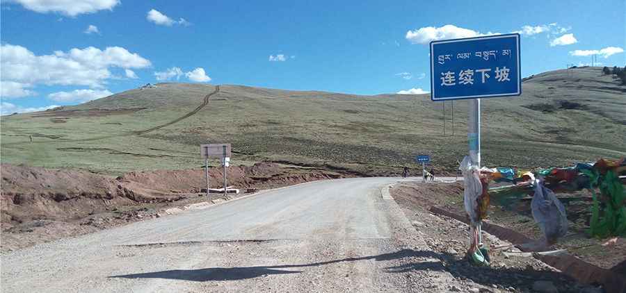
Is the road to Zongba La paved?
The road to the summit is mostly paved. It’s called 318 National Road (G318), the Tibet-Sichuan highway. The drive comprises many turns and steep sections. Near the summit there are 5 challenging hairpin turns.
How long is Zongba La?
The pass is 69.9 km long and runs west-east from Zhubalongxiang to Markam (on the G214 Road).
Is Zongba La open in winter?
Set high in the southern part of the country, at this elevation, the road is open year-round though it is dangerous in winters. Heavy snowfalls are common.
Pic: Ruian Yunlong
Road suggested by: Jorge Manuel Gómez Sánchez