How to drive the military track to Nilung La?
The Nilung La is an extreme high-altitude mountain pass in the Ngari Prefecture of the Tibet Autonomous Region. Reaching an elevation of 5,730m (18,799ft), it is one of the highest roads in the world. The road, also known as Zulung La or Zulang La, is a totally unpaved military track that connects Naiwuse with Nerbole. Driving at this altitude is a high-risk operation that requires a vehicle specifically prepared for extreme low-pressure environments and a driver experienced in high-altitude desert logistics.
| Road facts: Nilung La (Zulung La) | |
|---|---|
| Location | Ngari Prefecture, Tibet (China) |
| Elevation | 5,730m (18,799ft) |
| Surface | Unpaved (Gravel and Loose Dirt) |
| Access | Restricted (Military use only) |
| Vehicle Requirement | Heavy-duty 4x4 / Turbocharged engines |
What is the road condition from Naiwuse to Nerbole?
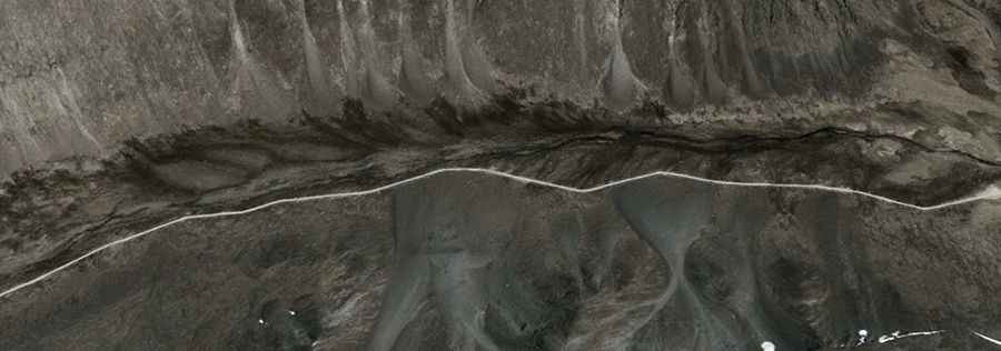
The Naiwuse-Nerbole track is a rough, unpaved road primarily used for border security and military logistics in the Demchok sector. The surface consists of loose gravel and fine glacial dust, which becomes unstable during the brief summer thaw. Because this is a military corridor, the road is wide enough for heavy trucks but lacks any civilian infrastructure. Drivers must manage the 4x4 system to maintain traction on the steeper sections, especially where the roadbed is soft. Logistically, the route is completely impassable during the winter months due to heavy snow accumulation and temperatures that stay well below freezing.
Mechanical limits: Engine performance at 5,730 meters
Technically, operating an internal combustion engine at 5,730 meters is extremely difficult. The air density is nearly 50% lower than at sea level, leading to a significant loss of horsepower. Naturally aspirated engines will struggle to maintain power, making turbocharged vehicles the only reliable option for this ascent. Cooling systems are also under heavy stress; although the air is cold, the low pressure reduces the boiling point of the coolant, increasing the risk of engine overheating. It is mandatory to use high-altitude fuel additives and ensure the vehicle's electrical system is capable of high-torque starts in low-oxygen conditions. It is one of the highest roads in the country.
Visual navigation and marking in the Demchok sector
Navigation at Nilung La is difficult due to the lack of conventional signage and the monotony of the rocky high-desert terrain. As a logistical measure, the military uses red-painted rocks along the route as visual waypoints and border markers. In an environment where GPS signals can be unreliable or blocked, these marks serve as the primary guide to keep vehicles on the main track and away from unstable permafrost zones or disputed sectors. Following these visual markers is a technical requirement for any convoy moving through this high-altitude corridor.
Health and safety logistics: Managing altitude and hypoxia
Logistically, the risk of Acute Mountain Sickness (AMS) is the primary safety concern at Nilung La. At nearly 19,000 feet, the human body cannot function normally without significant acclimatization. Driving requires full concentration, but the lack of oxygen leads to slower reaction times and impaired judgment. Any authorized transit must include portable oxygen supplies and monitors to check for early signs of edema. There are no medical facilities or support services along the route. If a breakdown occurs, the extreme cold and isolation make self-sufficiency a matter of survival.
Is Nilung La open to civilian traffic?
Nilung La is strictly a military road and is closed to all civilian traffic. It is located in a sensitive border area, and checkpoints are constant. The road is maintained for the deployment of personnel and equipment, and military convoys have absolute right-of-way. For logistical planning, this route is off-limits for tourism or independent travel. Any authorized movement must be coordinated with the regional military administration, and vehicles must be equipped with specialized communications gear, as standard mobile signals are non-existent in this sector of the Ngari Prefecture.
Road suggested by: Hugh Wilson