72 bends to the summit of Ye La
Ye La is a high mountain pass at an elevation of 4.651m (15,259ft) above the sea level, located in Baxoi County, in the Tibet Autonomous Region of China.
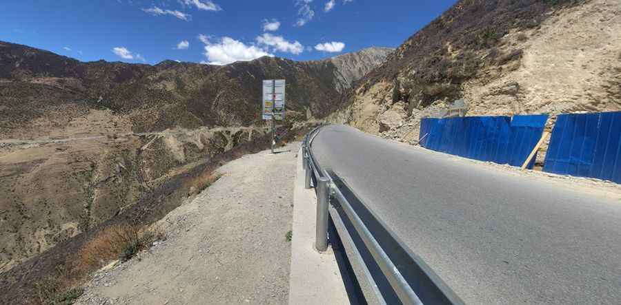
The road to the summit, also known as Gama La, is paved. It’s called China National Highway 318, also known as Sichuan-Tibet Highway. It’s usually impassable from October to June. The summit offers a breathtaking scenery. The road is long and arduous and crosses several mountain passes through remote areas, so you need to be prepared.
The pass is also known as Yela Shan Pass. It’s located between the villages of Bangdazhen andLagenxiang. This road is best viewed from a distance. Do not take this drive if you have respiratory problems or any type of heart condition. The road drops in a dizzying, dusty descent through 72 bends from the summit of the pass to just 2,700m (8,850ft) when the road finally straightens out to run alongside the Salween River. This section is often called "Nujiang 72 turnings" for its dangerous and zigzag path.
Road suggested by: Jorge Manuel Gómez Sánchez
Pic: 石江川