A very steep road (13.3%) to the top of Lata La
Lata La is a high mountain pass at an elevation of 4.047m (13,277ft) above the sea level, located in the southern part of Gyirong County in the Tibet Autonomous Region of China.
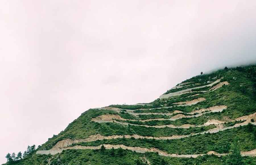
The path leading to the summit is entirely unpaved, offering a meandering route from Gyirong to Zhan'Gang. Embarking on this challenging drive entails countless turns, twists, and a staggering 40 hairpin bends. If your ideal road trip involves venturing far from the conventional routes, then this is the journey tailored for you.
Prior to commencing your expedition, it is crucial to consult the weather forecast as adverse conditions are frequently encountered. The interplay of high altitude and extreme weather always looms as a factor. Typically, this road becomes impassable from late October until late June or early July, contingent upon the snowfall.
The drive is characterized by its exceedingly steep nature. Stretching 10.9 km (6.77 miles) from Gyirong Town, the ascent encompasses a total elevation gain of 820 meters. The average gradient along this distance stands at 7.52%, with the maximum gradient peaking at 13.3%.
Road suggested by: Hugh Wilson
Pic: Tibet.cn