How to drive the narrow-paved road to Lawa La?
Lawa La is a high mountain pass at an elevation of 3,349m (10,987ft) above sea level, located in the Wangdue Phodrang District of central Bhutan.
How long is the road through Lawa La?
Set high in the Black Mountains, the road to the summit is 18 km (11 miles) long, starting from Pele La pass.
Is the 18 km road to Lawa La paved?
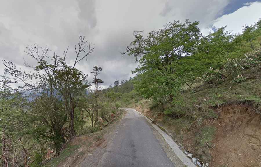
The road through the pass is fully paved, but generally narrow, often leaving less than three meters of usable asphalt. In many sections, the edges are broken or washed away by monsoon rains. When two vehicles meet, there is no shoulder room; one driver must stop or reverse to a wider spot. The lack of guardrails means that the tires sit just centimeters away from unprotected drops into the Black Mountains valleys.
How challenging is the weather on the road to Lawa La?
Fog is the primary hazard on Lawa La. At this elevation, clouds can reduce visibility to less than five meters without warning. This makes the sequence of sharp hairpins difficult to drive, as you cannot see oncoming traffic or livestock. The humidity also makes the shaded parts of the asphalt slippery, reducing tire grip on the steepest 18 km ramps.
Pic: Lawa La stupa