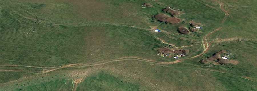
Tagheri: Driving the steep mountain track from Poqr Shen
Tagheri is a high mountain peak at an elevation of 2,996m (9,829ft) above sea level, located in the Ararat province of Armenia. This high-altitude destination offers a challenging drive through the rugged landscape of the Lesser Caucasus, providing panoramic views of the surrounding peaks.
The road to the summit is a demanding mountain track consisting of gravel and rocky sections. Due to its steepness and uneven surface, a 4x4 vehicle with high clearance is required. The route is highly seasonal and is usually impassable from October to June due to heavy snow and mud, depending on local weather conditions.
| Road facts: Tagheri | |
|---|---|
| Elevation | 2,996m (9,829ft) |
| Location | Ararat Province (Armenia) |
| Length | 15.9 km (9.8 miles) |
| Elevation Gain | 1,409 m |
| Average Gradient | 8.8% |
How is the drive to the Tagheri summit?
The ascent begins in the settlement of Poqr Shen. From here, the track stretches for 15.9 km as it climbs toward the peak. The drive is characterized by a significant elevation gain of 1,409 meters, which results in a sustained average gradient of 8.8%. Some sections feature much steeper ramps and "tippy" corners that require careful gear selection and experienced off-road driving skills.
What are the hazards on the road to Tagheri?
The main challenges for drivers are the loose rocks and the bumpy nature of the track, which can become very slippery after rain. Because of the extreme elevation gain in a relatively short distance, engine performance may be affected by the thinning air. There are no facilities or services along the route, so it is essential to carry extra fuel, water, and emergency equipment. As with most high-altitude tracks in Armenia, checking local weather reports before starting the climb is crucial to avoid being trapped by sudden storms.