Road to Geghak’ar: Driving the 10.72% Track in Syunik
Reaching an elevation of 3,182m (10,439ft) above sea level, Geghak’ar is a high mountain peak located in the Syunik province of southern Armenia. It is officially ranked as one of the highest roads of Armenia, requiring specialized vehicles for transit.
| Road facts: Geghak’ar | |
|---|---|
| Location | Syunik, Armenia |
| Elevation Gain | 1,137 m |
| Length | 10.6 km (6.58 miles) |
| Average Gradient | 10.72% |
| Surface | Unpaved / Primitive Track |
How is the road to Geghak’ar?
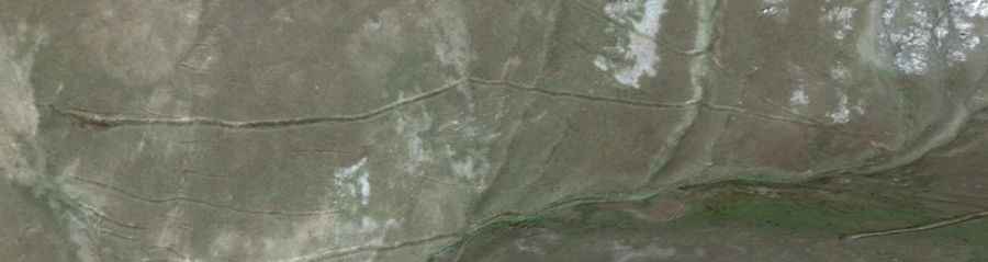
The ascent to Geghak’ar starts from the village of Ajabaj, located in the Kajaran Municipality. The road is 10.6 km (6.58 miles) long and consists entirely of an unpaved mountain track. Over this distance, the route overcomes an elevation gain of 1,137 meters, which results in a sustained average gradient of 10.72%. The surface is composed of loose dirt and rocks, and the track is narrow, following the natural contours of the high-altitude terrain without modern engineering reinforcements.
How many hairpin turns are on the road to Geghak’ar?
The final section of the climb toward the 3,182m summit features 8 sharp hairpin turns. These switchbacks are concentrated near the end of the route to manage the rapid elevation gain on the steepest slopes. Due to the narrow radius of these turns and the loose surface, a 4WD vehicle with high clearance is mandatory. The track is used primarily for seasonal access to the upper ridges and lacks any form of safety barriers or guardrails along the entire 10.6 km stretch.
What are the weather hazards on the road to Geghak’ar?
The road to Geghak’ar is typically impassable from October to June due to heavy snow accumulation and ice. In this southernmost province of Armenia, the weather at 3,100 meters can change rapidly, with thunderstorms causing localized washouts on the unpaved surface. During the summer months, the 10.72% average gradient remains technical because rain can turn the dry dirt into deep mud ruts. Drivers must monitor the vehicle’s cooling system during the ascent, as the low-gear climb puts significant stress on the engine at high altitude.
What is the driving strategy for the Geghak’ar descent?
Descending from Geghak’ar requires the extensive use of engine braking to control the vehicle's speed. Relying solely on the foot brake on a 1,137-meter vertical drop will lead to brake fade and potential failure. It is necessary to check tire pressure and the mechanical condition of the 4WD system before leaving Ajabaj. The lack of infrastructure and the remote location mean that any mechanical breakdown requires self-recovery, as there are no emergency services available in this high-mountain sector of Syunik.