Driving the military ridge to Bagnatun: A 2,768m border climb in Vayots Dzor
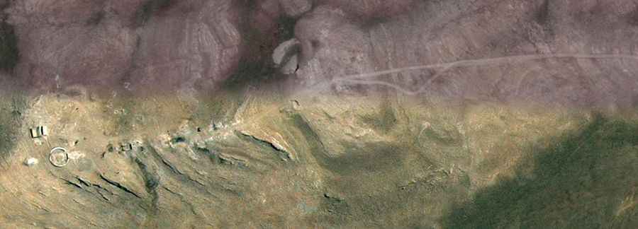
Rising to 2,768m (9,081ft) above sea level in the Vayots Dzor province, Bagnatun (also known as Harsnasar) is more than just a mountain peak; it is a high-altitude military ridge sitting directly on the volatile border between Armenia and the Nakhchivan enclave of Azerbaijan. The drive to the summit is a raw, technical off-road experience where the track follows the spine of the mountain, offering zero margin for error and a constant military presence that adds a heavy atmosphere to the climb.
| Road facts: Bagnatun (Harsnasar) | |
|---|---|
| Location | Vayots Dzor, Armenia (Border Zone) |
| Elevation | 2,768 m (9,081 ft) |
| Length | 9.7 km (6.0 miles) |
| Elevation Gain | 740 m |
| Surface | Unpaved (Loose Dirt and Shale) |
How is the 4x4 climb from Gnishik to Bagnatun?
The ascent starts at the isolated village of Gnishik and wastes no time in getting steep. You have to climb 740 vertical meters in less than 10 kilometers, which means your cooling system and transmission will be under constant stress. The track is entirely unpaved, consisting of loose shale and deep ruts that require a high-clearance 4x4 with low-range gears. This isn't a place for soft-roaders; the sharp volcanic rocks typical of Vayots Dzor are notorious for slicing through standard highway tires. Pick your lines carefully to avoid underbody impacts on the high-center sections of the ridge.
What are the hazards of the Bagnatun military ridge?
The real danger at Bagnatun is the combination of "dizzying drops" and "shifting weather." The road follows the narrow ridgeline with spectacular but lethal views over the valleys of both nations. There are no safety barriers, and the wind up here can be strong enough to buffeting your vehicle. From October to June, the route is buried under heavy snow, but even in mid-summer, a sudden thunderstorm can turn the dry dirt into a mud-trap. If you see dark clouds gathering over the peaks, get off the ridge immediately; lighting strikes and flash-floods on these steep slopes are a real threat to anyone caught above the tree line.
Strategic ruins and border zone safety
At the summit (coordinates 39.62424, 45.27987), you will drive past stone fortifications and military ruins that overlook the Nakhchivan border. This is a sensitive zone; staying on the established track is mandatory to avoid any "border incidents." Before leaving Gnishik, you must check with the locals or authorities about the current security status. There is zero cell service and no facilities for miles. You are your own recovery team out here. Carry a full-sized spare, a high-lift jack, and enough water to survive a night if a mechanical failure leaves you stranded on the border at 2,700 meters.