Why is the road to Bechenagskiy Pereval closed to traffic?
Bechenagskiy Pereval, also known as the Bichenek Pass, is a high mountain pass at an elevation of 2,346 meters (7,696 ft) above sea level, located on the border between the Nakhchivan exclave of Azerbaijan and the Syunik Province of Armenia. Crossing the Lesser Caucasus range, the pass is a dead end; though the asphalt of the R49 and M-13 highways physically exists, the international border has been strictly sealed by military forces for decades.
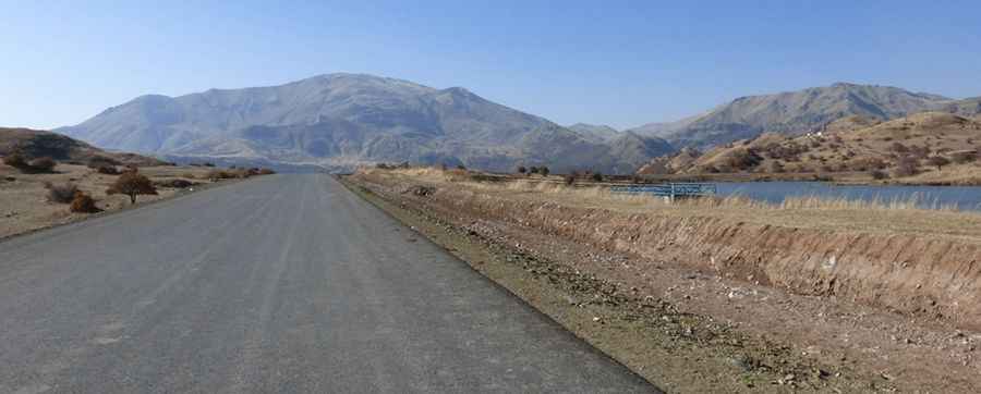
| Road facts: Bechenagskiy Pereval | |
|---|---|
| Location | Nakhchivan (Azerbaijan) - Syunik (Armenia) border |
| Elevation | 2,346 m (7,696 ft) |
| Road Names | R49 (Azerbaijan) / M-13 (Armenia) |
| Status | Border Permanently Closed (Militarized dead end) |
| Surface | Asphalt (Degraded with potholes) |
What is the current status of the Bechenagskiy Pereval road?
The road over Bechenagskiy Pereval does not allow through-transit. While navigation screens show a continuous route linking the R49 and M-13 highways, the tarmac hits heavily armed military checkpoints on both sides of the border line. From the Azerbaijani side, vehicles can drive past the village of Biçənək, but soldiers stop all traffic long before the crest. On the Armenian side, the climb from Shaghat faces the exact same military restrictions. The pass is a total dead end, and there is no legal way to cross this mountain coordinate.
How does the asphalt condition vary on Bechenagskiy Pereval?
The entire mountain pass is paved, but because international trade trucks have been banned for decades, the asphalt receives only basic local maintenance. The 2,346-meter elevation subjects the pavement to severe winter freeze-thaw cycles that buckle the road bed, creating deep potholes and long thermal cracks. On the higher sections within the Shahbuz District, the tarmac has degraded into a rough, high-vibration surface that can damage standard car suspensions. The mountain lanes are narrow, lack fresh painted lines, and have no modern steel guardrails.
What are the winter driving hazards of the Bichenek Pass?
The pass is hit by severe alpine weather from November through April. At nearly 2,450 meters high, heavy snowstorms and smooth sheets of black ice are constant hazards on the asphalt switchbacks. Snowplows only clear the lower lanes to keep the local mountain villages accessible; they never clear the road up to the restricted border summit. Any vehicle attempting the climb will get stuck in deep, uncleared drifts. Winter tires are mandatory, and drivers must carry their own recovery gear since tow trucks and emergency services cannot enter this militarized buffer zone.
What is the future of the Bechenagskiy Pereval route?
The highway over the pass holds high geopolitical significance in ongoing regional transport talks to link Nakhchivan with mainland Azerbaijan through Armenian territory. If a diplomatic agreement ever opens the border, the existing asphalt infrastructure could immediately carry regional vehicle traffic across the Lesser Caucasus. Until those international treaties are signed, the highway remains blocked by concrete blocks and military outposts. Additionally, Azerbaijan enforces strict land border closures by state decree, meaning access to the western approach remains highly restricted.
Pic: https://static.panoramio.com.storage.googleapis.com/photos/large/98976453.jpg