What are the most spectacular roads in Armenia?
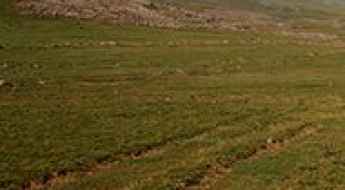
Armenia is a landlocked country located in West Asia, within the Armenian plateau. The country is bordered by Georgia, Azerbaijan, Iran and Turkey and covers an area of approximately 29,743 square kilometers and hosts countless mountains, providing a high number of scenic yet challenging high mountain drives.
The climate is highland continental with hot summers and cold winters, so before venturing to drive some mountain roads, better to check the conditions, as some roads are totally impassable in winters due to its mostly mountainous geography, with the Lesser Caucasus Mountains dominating the landscape.
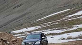
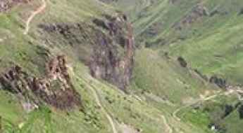
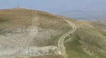
When travelling to Armenia, don’t forget to drive the demanding road to Aragats Research Station, ending at 3.199m (10,495ft) above sea level, in the province of Aragatsotn. For those seeking the most defiant drives, don’t forget to check out our content about the highest roads of Armenia. You can also try the steep paved road to Meghri Pass, a challenging drive, climbing up to 2.535m (8,316ft) above sea level or discover the thrills of Vardenyats Pass: a serpentine road through Armenia's mountains, topping out at 2.410m (7,906ft) above sea level, in the Vayots Dzor Province.
Geghak’ar
Geghak’ar is a high mountain peak at an elevation of 3.182m (10,439ft) above the sea level, located in Syunik, the southernmost province of Armenia. It’s one of the highest roads of the country.
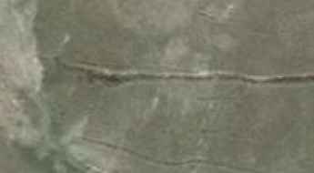
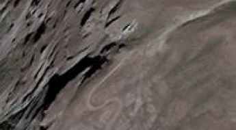
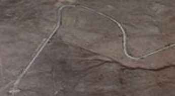
A remote 4x4 road to Hank’asar
Hank’asar is a high mountain peak at an elevation of 2.985m (9,793ft) above the sea level, located in Syunik, the southernmost province of Armenia.
The Ultimate Road Trip Guide to Mount Kaputjug
Mount Kaputjugh is a high mountain peak located on the border of Armenia and Azerbaijan. It’s one of the highest roads in the country.

Vardenis ridge
Vardenis ridge is a high mountain pass at an elevation of 3.040m (9,973ft) above the sea level, located in the Vayots Dzor province, at the southeastern end of Armenia. It’s one of the highest roads of the country.
Mount Teghenis
Mount Teghenis is a high mountain peak at an elevation of 2.839m (9,314ft) above the sea level, located in the Aragatsotn province of Armenia.
Mount Spitakasar
Mount Spitakasar is a volcanic massif at an elevation of 3.255m (10,679ft) above the sea level, located in the Ararat Province of Armenia. It’s one of the highest roads of the country.
East Sevan Ridge
East Sevan is a ridge at an elevation of 3.376m (11,076ft) above the sea level, located on the border of Armenia and Azerbaijan. It's one of the highest roads of the country.

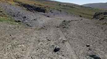
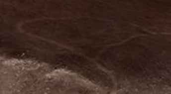
The rough and bumpy road to Tashtuni Lernants’k’
Tashtuni Lernants’k’ is a high mountain peak at an elevation of 2.489m (8,166ft) above the sea level, located in Syunik province, in Southern Armenia.
Sevakatar
Sevakatar is a high mountain pass at an elevation of 3.223m (10,574ft) above the sea level, located in Ararat Province, in Armenia. It’s one of the highest roads of the country.
Tsaghkavet
Tsaghkavet is a high mountain peak at an elevation of 3.081m (10,108ft) above the sea level, located in Ararat province of Armenia. It’s one of the highest roads of the country.
Sheksar
Sheksar is a high mountain peak at an elevation of 3.073m (10,082ft) above the sea level, located in the Vayots Dzor Province of Armenia. It’s one of the highest roads of the country.
Ughtusar
Ughtusar is a high mountain peak at an elevation of 3.052m (10,013ft) above the sea level, located in Ararat province of Armenia. It’s one of the highest roads of the country.
Jradzor
Jradzor is a high mountain pass at an elevation of 2.909m (9,543ft) above the sea level, located in Syunik, the southernmost province of Armenia.
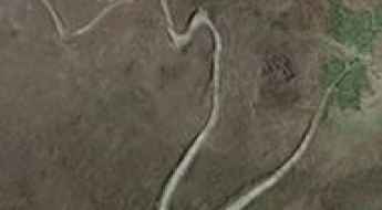
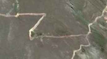
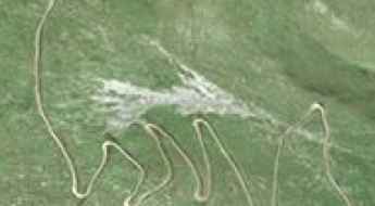
A wild 4x4 road to Ulaghbyur
Ulaghbyur is a high mountain pass at an elevation of 3.568m (11,706ft) above sea level, located in Syunik province of Armenia. It’s one of the highest roads in the country.
Mount Tsaghkunyats
Mount Tsaghkunyats is a high mountain peak at an elevation of 2.809m (9,215ft) above the sea level, located in Kotayk province, in the central part of Armenia.
Piramza Pass
Piramza Pass is a high mountain pass an elevation of 2.795m (9,169ft) above the sea level, located in the Syunik Province of Armenia.
Sev Lake
Sev Lake is a glacial lake at an elevation of 2.678m (8,786ft) above the sea level, located on the border of Azerbaijan and Armenia.
Kovasar
Kovasar is a high mountain peak at an elevation of 2.784m (9,133ft) above the sea level, located in the Gegharkunik province of Armenia.
Tagheri
Tagheri is a high mountain peak at an elevation of 2.996m (9,829ft) above the sea level, located in the Ararat province of Armenia.
Bagnatun
Bagnatun is a high mountain peak at an elevation of 2.768m (9,081ft) above the sea level, located in Vayots Dzor province of Armenia.
Tsar-Verin Shorjha
Tsar-Verin Shorjha is an international high mountain pass at an elevation of 2.748m (9,015ft) above the sea level, located on the border of Armenia and Azerbaijan.