How to drive the unpaved A77 to Band-e Ghuk?
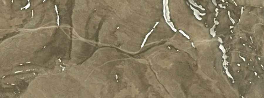
Band-e Ghuk (also known as Pereval Guk) is a high mountain pass at an elevation of 2,907m (9,537ft) above sea level, located in the Chaghcharān district of the Ghor Province in central Afghanistan. The route is a critical but volatile segment of the A77 highway, spanning 108 km (67 miles) of totally unpaved terrain. The road connects Chishti Sharif, following the Hari River valley, with Sharak, traversing one of the most isolated and logistically challenging regions of the central Afghan highlands.
| Road facts: Band-e Ghuk (Pereval Guk) | |
|---|---|
| Location | Ghor Province, Afghanistan |
| Elevation | 2,907 m (9,537 ft) |
| Length | 108 km (67 miles) |
| Surface | Unpaved / Dirt & Rock |
| Operational Window | June to September |
What are the technical driving requirements for the A77 Band-e Ghuk pass?
The 108 km transit of Band-e Ghuk is a sustained off-road operation that technically requires a high-clearance 4x4 vehicle equipped with heavy-duty suspension. The roadbed is composed of compacted dirt, river silt near the Hari River, and sharp scree at higher elevations. Logistically, the track is characterized by deep ruts and significant erosion, as maintenance is non-existent. Drivers must be prepared for steep gradients where the 2,907m altitude reduces engine torque. A dual-spare tire setup is a mandatory technical protocol due to the abrasive nature of the rocks and the total absence of mechanical support throughout the Sharak sector.
How does the seasonal climate impact Band-e Ghuk road logistics?
Logistically, Band-e Ghuk is impassable for the majority of the year. From October to June, heavy snowfall and ice at 2,907m block the A77, effectively cutting off the land link between Chishti Sharif and Sharak. Technically, during the spring thaw, the road becomes a logistical trap due to high-discharge runoff from the Hari River, which causes significant washouts and mudslides. The 108 km transit should only be attempted during the core summer months, and even then, technical verification of the track’s integrity is required after any localized storm event, as the unpaved surface lacks any engineered drainage or stabilization.
What are the security and logistical protocols for the Ghor Province?
Navigating the A77 through Band-e Ghuk involves extreme logistical risks beyond the terrain. Technically, the security situation in the Ghor Province is highly volatile, requiring up-to-date intelligence on armed conflict and kidnapping risks. It is a mandatory protocol to coordinate with local authorities or embassy services before entering the 108 km sector. Logistically, the route lacks verified fuel supply points; vehicles must carry enough fuel for a 300 km range to account for potential detours or low-gear crawling that increases consumption. Self-sufficiency in satellite communication and emergency medical supplies is a technical prerequisite for this transit.
What are the hazards of the Hari River valley transit to Sharak?
The lower sections of the road near Chishti Sharif follow the Hari River, where the primary technical hazard is riverbank instability. Logistically, the 108 km track often narrows to a single lane with high vertical exposure and no safety barriers. Technically, the dust generated on the Band-e Ghuk pass can reach extreme levels, compromising air filters and reducing visibility. Drivers must adhere to a strict convoy protocol if traveling in groups to avoid technical failures caused by dust ingestion. The isolation of the Chaghcharān district means that any mechanical breakdown requires a self-recovery plan, as specialized towing equipment cannot reach the high pass at 2,907m.