How to drive the unpaved road to Kotal-e Safed Khurs?
Kotal-e Safed Khurs is a high mountain pass at an elevation of 3.607m (11,833ft) above sea level, located in Badakhshan Province, in Afghanistan.
Where is Kotal-e Safed Khurs?
The pass, also known as Kuh-e Safed Khurs, is located in Khwahan District, in the northeastern part of the country. It can be translated as White Bear Pass.
Is the road to Kotal-e Safed Khurs unpaved?
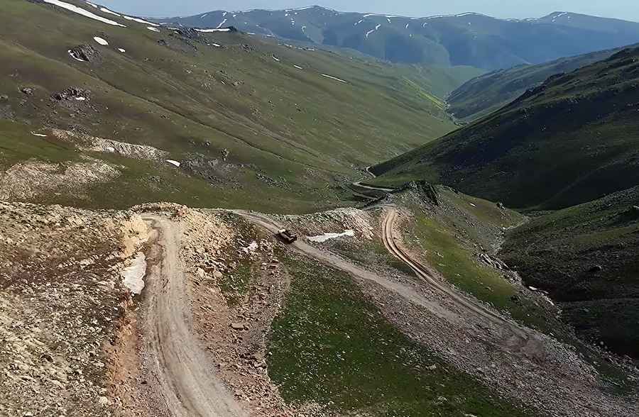
The road to the summit is completely unpaved, a rugged dirt and gravel track with loose soil and occasional uneven patches.
Where does the road to Kotal-e Safed Khurs start and end?
It runs north-south from Shkharow to Sipah. The road snakes down the steep valley slopes through a series of tight, narrow switchbacks and sweeping hairpin turns, demanding extreme caution and a capable 4x4 vehicle.
Is the road to Kotal-e Safed Khurs open year-round?
Set high in the Hindu Kush range, at this elevation it’s the highest pass in the area. The road is not plowed in winters.
Road suggested by: Hugh Wilson
Pic&video: Emran Wadan