How to drive the 25-hairpin turns to Koh-e Nihalah in Samangan?
Koh-e Nihalah is a high mountain peak at 2,980 meters (9,776 ft) above sea level, located in the Samangan Province of Afghanistan.
Where is Koh-e Nihalah located?
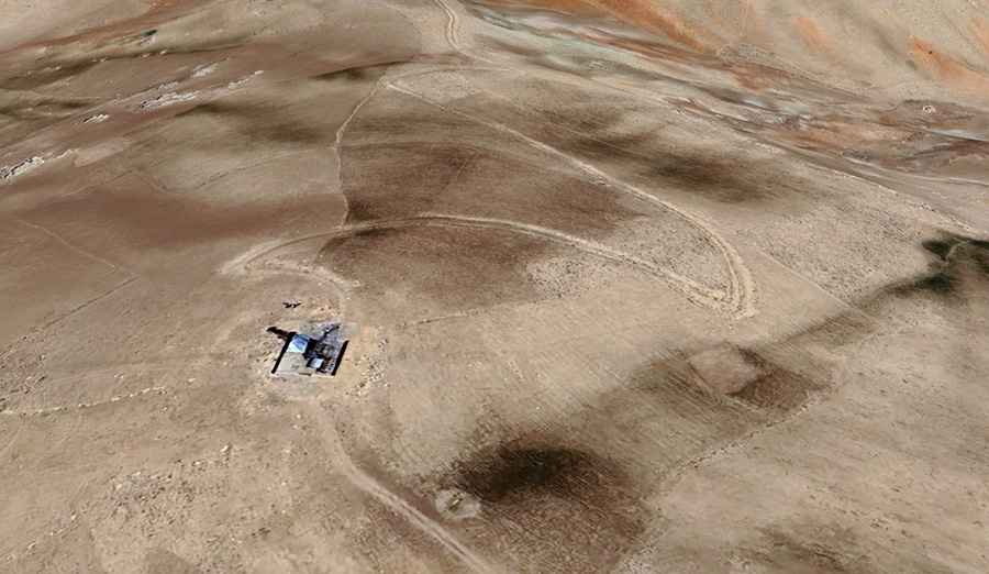
The peak is located in the northern part of the country, within the rugged terrain of the Hindu Kush mountains. The road to the top is primarily used for the maintenance of the communication equipment at the top.
Is the road to Koh-e Nihalah unpaved?
The road to the summit is entirely unpaved and consists of loose shale, dirt, and shifting rocks. The surface is notoriously unstable, especially on the 25 hairpin turns that climb the face of the mountain. Several ramps exceed a 15% gradient.
How long is the road to Koh-e Nihalah?
The road to the summit is 8.9 km (5.5 miles) long, running from the base at Ruy Doab to the communication tower at the summit. Despite the short distance, the 876-meter elevation gain and the 25 tight switchbacks make it a very slow drive. Due to the loose ground, a high-clearance 4x4 with a low-range gearbox vehicle is required.
Is the road to Koh-e Nihalah open in winter?
The road is generally impassable from late autumn until late spring due to snow and ice. There is no mechanical aid, no fuel, and no cell service available.