How to drive the unpaved road to Qarah Kotal in Samangan
Qarah Kōtal is a high mountain pass at an elevation of 3,063 meters (10,049 ft) above sea level in Samangan Province, in Afghanistan. Located in the Hindu Kush range, the access to the pass consists of a steep, narrow, unpaved track starting from Madrak.
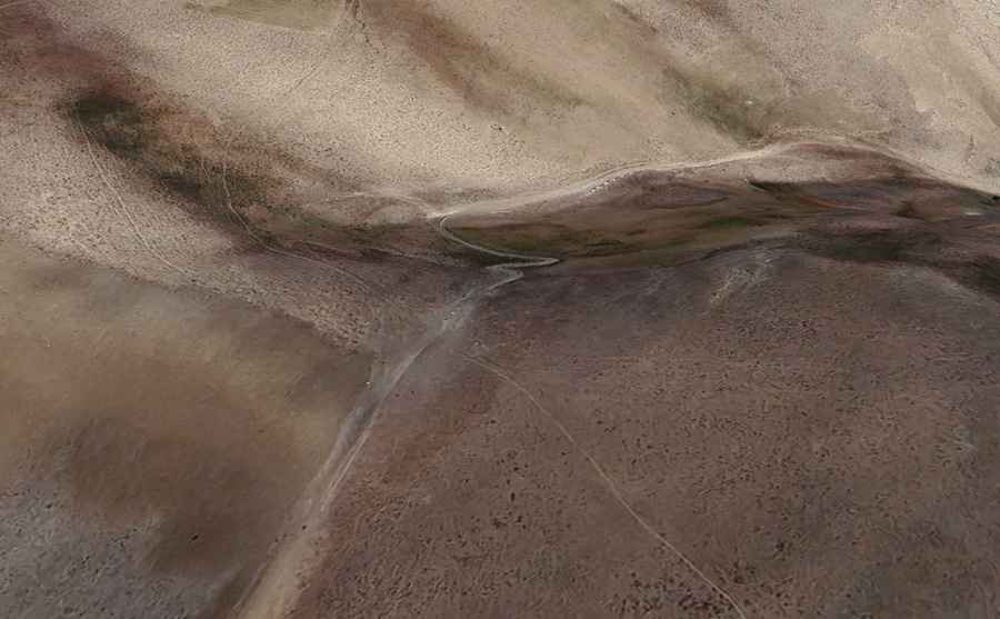
| Road facts: Qarah Kōtal | |
|---|---|
| Location | Samangan Province (Afghanistan) |
| Elevation | 3,063 m (10,049 ft) |
| Length | 6.5 km (4.03 miles) from Madrak |
| Elevation Gain | 485 m (1,591 ft) |
| Average Gradient | 7.46% |
| Surface | Unpaved dirt and rock track |
| Key Hazards | Unshielded drop-offs, extreme physical isolation, security checkpoints |
Where is Qarah Kōtal located?
The pass is situated in Samangan Province, in northern Afghanistan, traversing the northern ridges of the Hindu Kush mountain range.
Is the road to Qarah Kōtal unpaved?
Yes. The entire 6.5-kilometer route from Madrak is completely unpaved, featuring loose rocks, deep ruts, and narrow shelf-road sections with unshielded drop-offs. Reaching the pass requires a high-clearance 4x4 vehicle.
How long is the road to Qarah Kōtal?
Starting from the village of Madrak, the climb to the pass spans 6.5 kilometers (4.03 miles). Over this distance, the track gains 485 vertical meters, maintaining an average gradient of 7.46% up to the 3,063-meter summit.
What hazards exist when driving to Qarah Kōtal?
The physical hazards include narrow single-lane tracks, steep drop-offs without safety barriers, and loose rock surfaces. Overland transit in the region carries extreme security risks due to active armed checkpoints, unpredictable local conditions, and complete lack of emergency or consular assistance throughout Samangan Province.
Road suggested by: Hugh Wilson