Isparman Pass: The Afghan Route of Three Passes (Max. 2,716m)
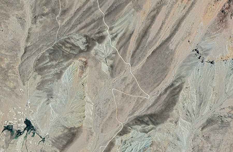
The Kotal-e Isparman (Isparman Pass) is the heart of an extremely challenging high mountain route that includes three closely situated passes in the Farah province of Afghanistan. Although Isparman Pass itself reaches 2,706 meters (8,877 ft), the road’s highest point is nearby at Darah-ye Chashmah-ye Malaki (2,716m). This unpaved road demands maximum driver preparation due to its extreme remoteness and degraded infrastructure.
Where is this triple pass route located?
This high-altitude road is set in the central part of the country, located entirely within the Farah province of Afghanistan. The entire route is 31 kilometers (19.26 miles) long, running north-south from the village of Khanzadaha to Ijan.
What are the elevations of the three passes on this road?
The road is unique because it crosses three different passes in close succession, with minimal variation in height. This section is known as the Route of the Three Passes:
- Darah-ye Chashmah-ye Malaki: The highest point of the route at 2,716 meters (8,910 ft) above sea level.
- Isparman Pass (Kotal-e Isparman): The main pass on the route, reaching 2,706 meters (8,877 ft) above sea level.
- Farangi Pass (Kotal-e Farangi): 2,700 meters (8,858 ft) above sea level.
What are the driving conditions and dangers?
The entire 31-kilometer route is totally unpaved and is in extremely poor condition. The road is notoriously difficult, featuring potholes, steep sections, narrow parts, dangerous drop-offs, and hundreds of curves, many of them sharp hairpin turns. Driving should only be attempted during daylight hours and with a fully prepared 4x4 vehicle.
What logistical risks are involved in driving this route?
Due to the extreme remoteness and degradation of infrastructure, travelers face a severe risk of lack of essential services such as emergency assistance, fuel, or medical facilities. It is imperative to travel only with a self-sufficient vehicle and to seek up-to-date local information before attempting the route.