How to drive the unpaved road to Zardalu Pass in Ghazni province?
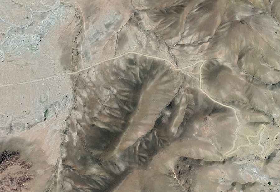
Kōtal-e Zardālū is a high mountain pass at an elevation of 2.669m (8,756ft) above sea level, straddling Jaghori and Qarabagh districts of Afghanistan.
Where is Zardalu Pass?
The pass is located to the south-west of Ghazni city, in Ghazni province, in the eastern part of the country.
Is Zardalu Pass unpaved?
The road through the pass is totally unpaved. It’s called Jaghori - Qarabagh Road. The road is not easy, with potholes, steep sections, narrow parts, dangerous drop-offs, and hundreds of curves, many of them hairpin turns.
How long is Zardalu Pass?
The pass is 70.7 km (44 miles) long, running south-north from Anguri (in Jaghori district) to Qarabagh (Qarabagh District).
How dangerous is driving through Zardalu Pass?
The route is best tackled during daylight. Night-time drives are strongly discouraged. Driving in Afghanistan is highly unsafe due to security risks and challenging conditions.