How to drive the unpaved road to Nargis Pass in Central Afghanistan?
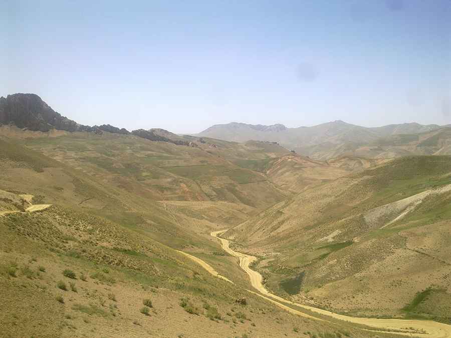
Kotal-e Nargis is a high mountain pass at an elevation of 3,134m (10,282ft) above sea level, located in the province of Wilāyat-e Bāmyān, Afghanistan.
Where is Nargis Pass?
The pass, also known as Pereval Nargiz and Kotal Nalgis, is located in the central part of the country.
Is Nargis Pass unpaved?
The road through the pass is mostly unpaved. It’s called A77. The road is quite challenging due to potholes, steep sections, narrow parts, dangerous drop-offs, and hundreds of curves, many of them hairpin turns.
How long is Nargis Pass?
The road is 37.3 km (23 miles) long, running east-west from Panjab to Aqzirat.
How dangerous is driving through Nargis Pass?
Driving in Afghanistan is highly unsafe due to security risks and challenging conditions. The country faces ongoing armed conflict, terrorism, and the constant threat of kidnapping, particularly in remote areas.
Pic: Hasan Malistani