A road with heavy snowfalls and strong winds to Salang Pass
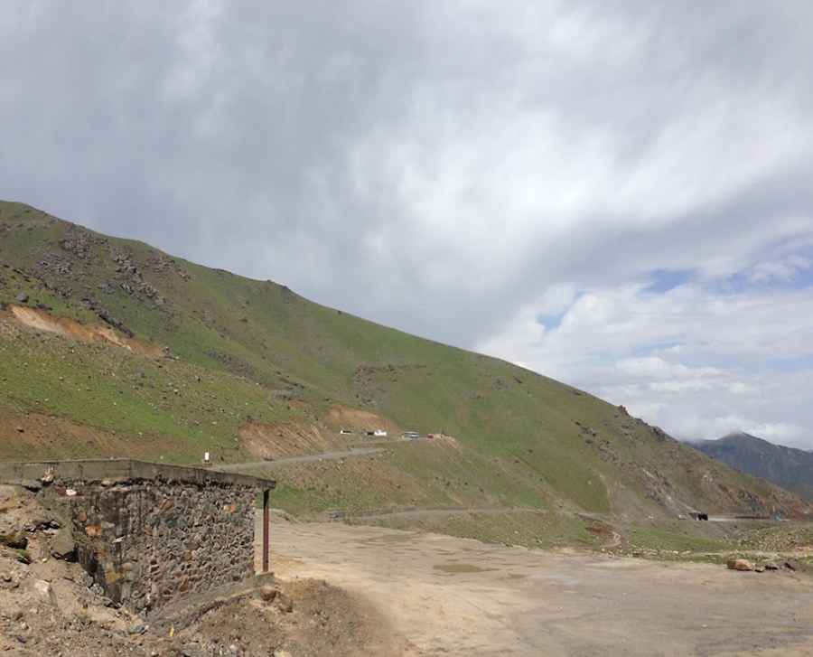
Salang Pass is a high mountain pass at an elevation of 3,878m (12,723ft) above sea level, located on the boundary between Parwan and Baghlan provinces, in Afghanistan. It's one of the highest roads in the country.
Where is Salang Pass?
Set high in the Hindu Kush, a mountain range that stretches between central Afghanistan and northern Pakistan, the pass is located on the northern part of the country. It is the major mountain pass connecting northern Afghanistan and Kabul province, with further connections to southern Afghanistan and Pakistan, just to the east of the Kushan Pass, both of which were of great importance in early times, providing the most direct connections between the Kabul region and northern Afghanistan or Tokharistan.
How long is Salang Pass?
The road to the summit (Kōtal-e Sālang) is mostly unpaved. It’s called AH76. The pass is 154 km (95 miles) long, running south-north from Jabal Saraj (Parwan Province) to Puli Khumrī (the capital and largest city of Baghlan Province). The road through the pass has carried heavy military traffic in recent conflicts and is in very bad repair. Annually, the total loss of life is about 40 people, and about 16,000 vehicles ply the Salang pass every day.
What’s the Salang Tunnel?
The most challenging part of the drive was bypassed by the Salang Tunnel, built by the Soviet Union in 1964, which runs underneath it at a height of about 3,400m (11,154ft) asl.
How dangerous is it to drive through Salang Pass?
If you do choose this route, please check up-to-date information due to the security situation. Obviously, you would have to really (!) check what is going on now. You might want to contact your embassy in Kabul, as they have the best information about terrorist attacks, ongoing armed conflict, the risk of kidnapping, and a high crime rate. The area features a high risk of avalanches.
Pic: Kabul Jan