The Most Dangerous (and Safest) States to Drive in the U.S.
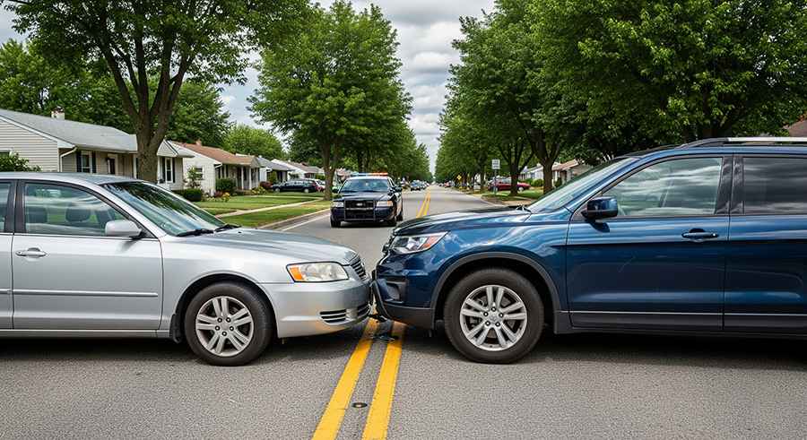
Driving risk in the United States is not uniformly distributed; it is a product of regional climate volatility, law enforcement density, and infrastructural integrity. With over 220 million licensed drivers covering 3 trillion miles annually, the statistical probability of a high-consequence incident varies dramatically by state lines. From the high-morbidity corridors of the Deep South to the secure transit networks of New England, understanding the technical risk factors of these roads is essential for long-range expedition planning and risk mitigation.
| U.S. Road Safety: Regional Risk Metrics | |
|---|---|
| Highest Fatality Odds | Mississippi, Wyoming, South Carolina (1 in 5,000) |
| Primary Meteorological Risk | Rain-induced hydroplaning (Mississippi, Florida, Alabama) |
| Highest DUI Incident Rate | North Dakota, South Dakota, Wyoming |
| Safest Infrastructure Nodes | Minnesota, Massachusetts, New York |
1. Mortality Metrics: The High-Consequence States
In the United States, approximately 0.5% of reported accidents result in fatalities, translating to roughly 50,000 deaths annually. However, the per capita risk is concentrated in states with high-speed rural arterials.
- Mississippi and South Carolina: These states consistently report the highest mortality rates per 100 million vehicle miles. The combination of narrow rural roads and high-velocity transit makes these corridors statistically the most dangerous in the nation.
- Large Scale vs. Per Capita: While California and Texas record the highest total number of fatalities due to sheer volume, their per capita safety metrics are superior to the isolated, high-speed roads of the Great Plains and the Deep South.
2. Atmospheric Force Multipliers
Inclement weather is a factor in 20% of all reported crashes. In states like Alaska, Louisiana, and Florida, weather patterns act as a constant stressor on road safety.
- Hydrologic Hazards: Nearly 50% of weather-related incidents occur during rainfall. In high-humidity coastal states, localized flooding and hydroplaning are primary causes of loss-of-control accidents.
- Cryospheric Risks: In northern sectors, the transition to sub-zero temperatures introduces black ice and zero-visibility blizzards, challenging even the most advanced vehicle stability systems.
3. The Logistics of Vehicle Crime
Risk on the road is not limited to kinetic energy; it includes the security of the vehicle itself. In 2018, nearly one million vehicles were reported stolen in the U.S.
- Per Capita Vulnerability: Smaller states like Delaware and West Virginia present a higher per capita risk of vehicle theft than larger hubs.
- High-Volume Nodes: California leads the nation in total volume, with approximately 160,000 thefts annually, primarily concentrated in urban high-density sectors where "theft for export" or "stripping" operations are localized.
4. Impaired Driving and Regulatory Enforcement
Driving Under the Influence (DUI) remains a critical variable in road safety, with nearly 800,000 arrests annually.
- The Rural DUI Gap: North and South Dakota report the highest per capita rates of impaired driving, often linked to long distances between transit nodes and lower enforcement density on secondary roads.
- Demographic Risk: Pennsylvania and Arizona have emerged as high-risk nodes for underage DUI offenses, necessitating increased vigilance during night-time transits in these jurisdictions.
Conclusion: Tactical Navigation of the U.S. Network
The safety of a road trip is determined by the intersection of geography, weather, and local driver behavior. By identifying high-morbidity states and understanding the environmental stressors of each region, drivers can execute a more effective risk management strategy. On America's most dangerous roads, the data is the most powerful tool for ensuring a successful transit from one state line to the next.