State Route 99 Voted ‘Most Dangerous U.S. Road’
State Route 99 (SR-99) is a major north-south highway running through the Central Valley of California, United States. The route spans approximately 425 miles (684 km), tracking parallel to Interstate 5 through major agricultural hubs including Bakersfield, Fresno, Modesto, and Sacramento.
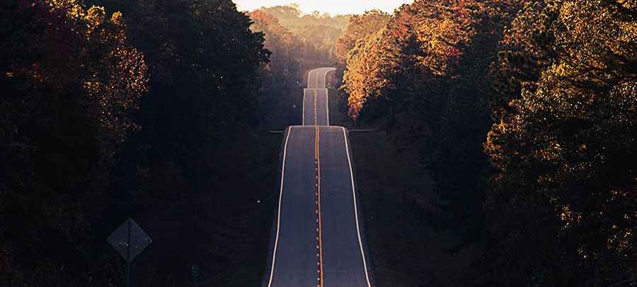
| Road facts: State Route 99 | |
|---|---|
| Location | Central Valley, California, USA |
| Length | 684 km (425 miles) |
| Fatality Rate | Average of 34 fatal accidents per 100 miles |
| Surface | Asphalt / Concrete pavement |
Why is State Route 99 considered the most dangerous road in the USA?
Statistical records from the National Highway Traffic Safety Administration (NHTSA) rank State Route 99 as the highway with the highest fatality rate per mile in the United States. The road averages 34 fatal crashes per 100 miles, peaking at 62 fatalities per 100 miles along the worst sectors. The primary cause of these accidents is the mix of heavy commercial agricultural trucks moving at slow speeds and passenger cars driving above the 70 mph (112 km/h) limit.
What are the design flaws of the State Route 99 layout?
Large sections of the highway retain an old four-lane geometry engineered in the mid-20th century. The on-ramps and off-ramps in rural sectors are extremely short, forcing slow farm vehicles and heavy trucks to merge directly into high-speed traffic without space to accelerate. The absence of continuous concrete median barriers in rural segments increases the risk of head-on collisions when cars drift out of their lanes due to fatigue on the straight sections.
How does the Tule fog affect driving on State Route 99?
From November to March, the Central Valley experiences Tule fog, a dense ground fog that drops over the asphalt during the early morning hours. This fog reduces horizontal driving visibility to less than three meters instantly. Drivers operating at high speeds fail to see stopped traffic ahead, triggering massive chain-reaction pileups that crush multiple vehicles against the rear beds of heavy commercial trailers.
What modifications are being made to State Route 99?
Sections between Fresno and Madera are undergoing lane expansion to widen the pavement from four to six lanes. This modification isolates the slower truck traffic from the fast lanes. High-intensity LED lighting lines are being added at unlit rural interchanges where 40% of nighttime crashes occur. Electronic message signs are placed along the shoulders to provide real-time visibility warnings before drivers enter the fog zones.
Photo by Matt Duncan on Unsplash