Beyond Navigation: GPS Technology as a Lifeline on High-Risk Routes
On the world’s most remote tracks, a GPS is no longer just a tool for turn-by-turn directions; it is a critical safety system. When traversing environments where cellular signals vanish and road conditions change by the hour, GPS tracking provides the only reliable link between an expedition and the outside world. From real-time location sharing to monitoring vehicle telemetry under extreme stress, this technology has revolutionized the safety standards of modern overlanding.
| GPS Expedition Benefits | |
|---|---|
| Survival Tracking | Satellite-based SOS and real-time location sharing for rescue teams. |
| Hazard Alerts | Pre-loaded warnings for landslides, steep gradients, and blind hairpins. |
| Telemetry | Monitoring engine heat and braking patterns on vertical descents. |
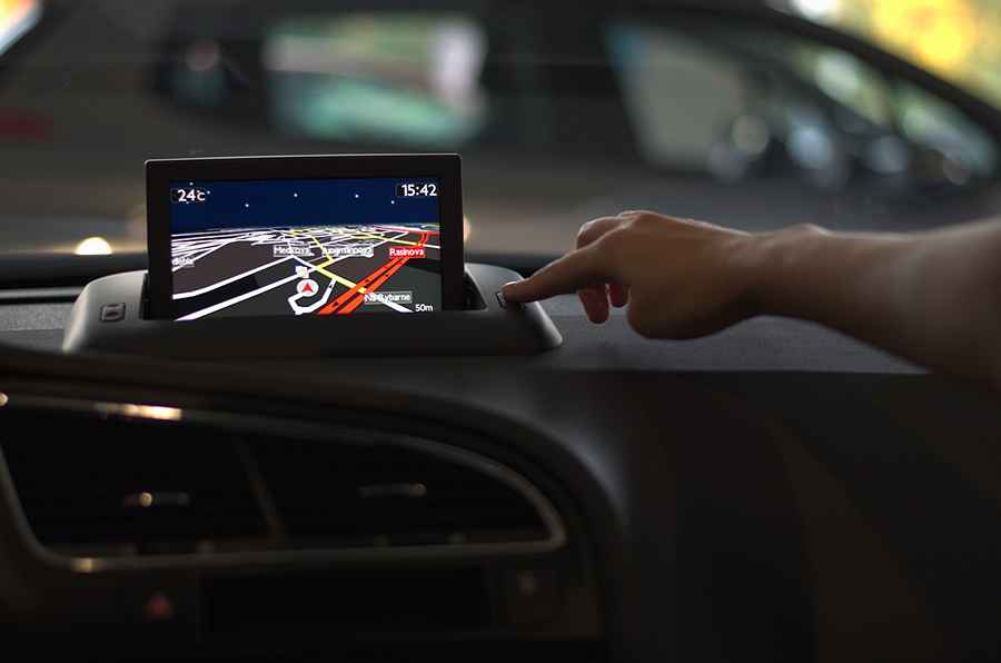
1. Real-Time Tracking in Zero-Signal Zones
On notorious routes like the Abano Pass, traditional cellular GPS is useless. Professional expeditions rely on satellite-linked tracking systems (like Garmin InReach or Iridium-based devices). These allow home base teams to monitor the vehicle’s progress in real-time. If a vehicle stops for an extended period in a high-risk zone, rescue protocols can be initiated even if the crew is unable to communicate via radio.
2. Advanced Route Planning and Topography
Modern GPS tracking allows for "Energy Topography" planning. By analyzing the vertical gain of a route before departure, drivers can estimate fuel or battery consumption with precision. On steep mountain climbs like Loveland Pass, having a GPS that displays real-time gradient percentages helps the driver select the correct gear and manage engine cooling, preventing mechanical failure before it happens.
3. Monitoring Driver Behavior on Extreme Terrain
In a professional expedition context, GPS tracking is used to monitor "tactical driving." It tracks sudden braking, excessive speed on gravel, and lateral G-forces. Analyzing this data is crucial for preventing "fatigue-induced errors" on long, grueling drives such as the road to Maja e Thanasit. By spotting signs of erratic driving early, teams can mandate rest stops before a collision occurs.
4. Emergency Alerts and Hazard Mapping
Advanced tracking systems can be pre-loaded with "hazard geofences." As the vehicle approaches a known dangerous section—such as a bridge with a weight limit or a sector prone to flash floods—the GPS provides an audible alert. This proactive approach allows the driver to prepare for the obstacle well in advance, reducing the need for emergency braking on unstable surfaces.
5. Maintenance and Vehicle Condition Tracking
Modern fleet GPS systems can integrate with the vehicle’s OBD-II port to track health metrics. In remote wilderness travel, this is invaluable for monitoring tire pressure, oil temperature, and battery health. Early detection of a slow leak or a rising coolant temperature allows the team to perform maintenance in a controlled environment rather than facing a breakdown on a narrow, exposed ledge.
Conclusion
GPS technology has shifted from a convenience to a mandatory survival asset. By providing a bridge between remote terrain and global rescue networks, it allows us to push the boundaries of exploration with an unprecedented level of security. On the world's most dangerous roads, the best navigation system is the one that not only tells you where you are but ensures you can be found when it matters most.