State Route 99: Why is it the Deadliest Highway in the United States?
California’s Central Valley holds a dark record in American transit. In 2019, State Route 99 (SR 99) was declared the most dangerous freeway in the United States. Running through Fresno County, this route combines heavy agricultural logistics, high speeds, and unique environmental hazards that challenge even the most seasoned drivers.
| Road facts: State Route 99 (Fresno) | |
|---|---|
| Location | Fresno County, California, USA |
| Primary Hazard | High-speed congestion & "Tule Fog" |
| Fatalities Rate | 62 fatalities per 100 miles (National high) |
| Speed Limit | 70 mph (113 km/h) |
What makes SR 99 so dangerous?
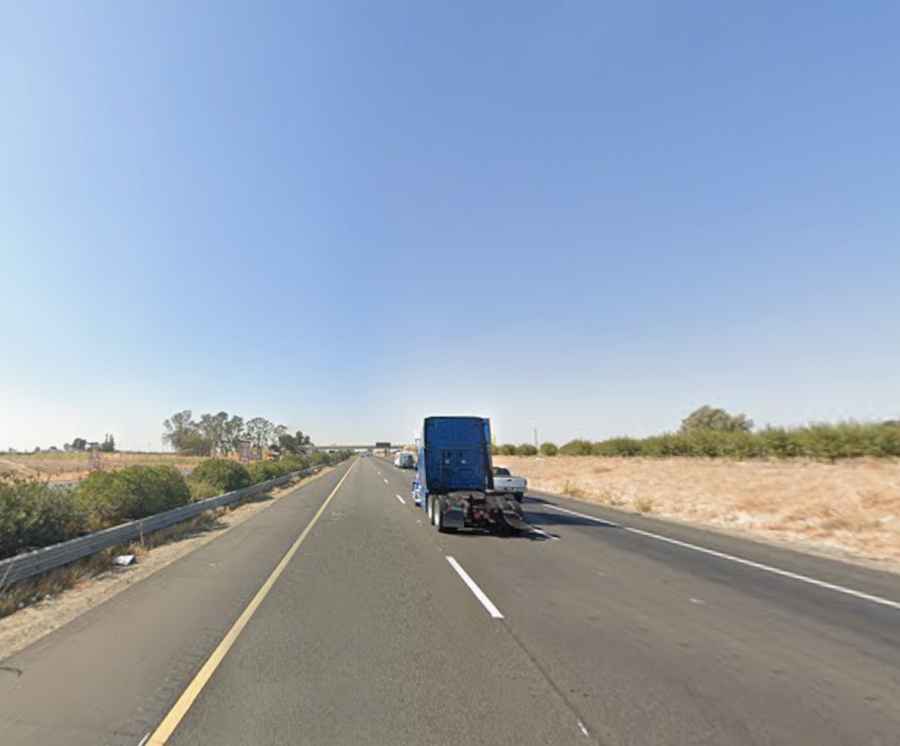
The notoriety of State Route 99 stems from a combination of poor infrastructure and driver behavior. Historically, the road has featured fewer lanes than modern freeways, despite a high speed limit of 70 mph. The scenery is notoriously monotonous, leading to driver fatigue and "highway hypnosis." However, the most lethal factor in Fresno County is the Tule Fog—a thick, ground-level fog that can reduce visibility to zero in seconds, leading to massive multi-vehicle pileups.
Analysis of Fresno’s Deadliest Sectors: Routes 41, 180, and 99
While SR 99 leads in fatal crashes, other routes in Fresno County present significant risks. State Route 180 is known for a high frequency of right-of-way violations, while State Route 41 handles massive commuter volumes that result in severe rear-end collisions. Statistical data from the Transportation Injury Mapping System (TIMS) confirms that unsafe speed is a contributing factor in over 50% of the crashes on these three routes.
The Risk of Head-On Collisions: State Route 33
In the more rural areas of Fresno County, State Route 33 remains a high-consequence road. Unlike the divided freeways, SR 33 often involves undivided two-lane sections where a single moment of inattention leads to head-on collisions. A notable 2013 incident involving nine fatalities highlights the extreme danger of vehicle overcrowding and high-speed impacts on these narrow corridors.
Technical Driving Tips for Fresno County
- Monitor Visibility: During winter months, Tule Fog can make SR 99 impassable. If visibility drops, exit the freeway immediately; do not stop on the shoulder.
- Avoid Fatigue: The straight, repetitive nature of the Central Valley roads induces drowsiness. Plan stops every 90 minutes.
- Speed Management: Despite the 70 mph limit, agricultural machinery often enters these routes at much lower speeds, creating dangerous speed differentials.
- Drunk Driving Risk: Fresno County reports that over 10% of fatal collisions involve impaired drivers or bicyclists.
Note: This analysis is based on historical crash data and infrastructure reports from Fresno County.