Degrees of Safety on the Diverse Roads of Northeastern America
The Northeastern United States features a highly diverse road network, ranging from the aging, high-capacity corridors of the I-95 to the isolated, scenic routes of northern New England. While states like Massachusetts and New York statistically rank among the safest for motorists, the region presents a stark contrast in risk levels. Professional navigation in the Northeast requires a dual strategy: managing extreme urban congestion and situational awareness on narrow, historic rural highways.
| Northeast Road Metrics: Comparative Risk | |
|---|---|
| I-95 Corridor | Critical artery; High volume/fatality ratio in summer |
| Baltimore Beltway (I-695) | Urban high-risk zone; Frequent distracted driving incidents |
| Vermont Route 100 | Rural scenic route; Low density, seasonal weather hazards |
| Infrastructure Age | Historic (Many segments dating back to 1957) |
Why is Interstate 95 considered one of the deadliest summer routes?
Completed in 1957, Interstate 95 (I-95) is one of the nation’s oldest and most essential highways, connecting the Canadian border to the southern tip of Florida. In the Northeast, it serves as the spine of the megalopolis, linking Boston, New York, and Washington, D.C. Its high traffic volume—combined with aging infrastructure and intense summer transit—makes it a high-risk corridor. In states like Maryland and New Jersey, the surge in seasonal motorists leads to a significant increase in high-speed collisions and multi-vehicle accidents.
What makes the Baltimore Beltway (I-695) a high-risk urban zone?
Located at the southern edge of the Northeast region, the Baltimore Beltway (I-695) is a prime example of urban infrastructure under extreme stress. The city of Baltimore has historically recorded high fatality rates, often exceeding 500 fatal crashes annually in the broader metro area. The primary catalysts for these incidents are distracted driving and excessive speed in congested weaving zones. Navigating the Beltway requires professional-grade defensive driving to manage the erratic lane changes and rapid deceleration cycles typical of this high-density loop.
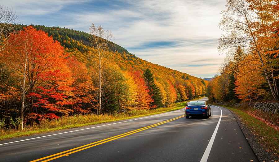
Are New England’s rural routes significantly safer?
In contrast to the saturated interstates, rural New England offers routes with lower traffic density and higher safety ratings. Vermont’s Route 100 and Massachusetts’ Old King’s Highway in Cape Cod are frequently cited as some of the safest roads in the nation. However, these tranquil routes present their own set of challenges, including narrow historic lanes, lack of modern shoulders, and seasonal hazards such as "black ice" and heavy autumn leaf litter, which can reduce tire traction as effectively as standing water.
How does the regional contrast of the Northeast impact driver behavior?
The Northeast is a region of geographical and social extremes. Drivers must transition from the narrow, grid-locked streets of Philadelphia or New York to the pastoral farmlands of Connecticut and the rugged Atlantic coastlines. This environmental shift requires constant adaptation of driving styles. Urban environments demand high-frequency micro-decisions, while rural highways require long-range vigilance against wildlife crossings and changing road surfaces. Maintaining operational safety in the Northeast is a matter of adjusting one's behavior to the specific technical demands of the road design.
Conclusion: Navigating the Contrasts of the Atlantic Coast
The Northeast road network is a vital but dangerous transportation link that requires respect for its history and its hazards. Whether you are conducting a high-speed commute on the I-95 or exploring the mountain passes of New England, situational awareness remains your primary safety tool. By understanding the statistical risks associated with urban beltways and the structural limitations of historic rural routes, you ensure that your journey through this diverse region remains as breathtaking for its scenery as it is for its safety.