Digital Tools for Driving on Remote and Hazardous Roads
In the modern era of exploration, digital tools have transformed hazardous routes into managed risks. However, relying on standard connectivity in remote territories is a strategic error. For the serious overlander, a mobile device must function as a redundant navigation hub, a real-time meteorological station, and a critical communication link. Mastering digital self-sufficiency is now as essential as mechanical knowledge.
| Digital Expedition Toolkit | |
|---|---|
| Navigation | Offline Topographical Maps (OSM, Gaia GPS) |
| Safety | Satellite Messaging & SOS Integration |
| Logistics | Real-time weather radar & Offline fuel databases |
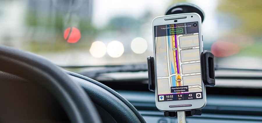
1. Redundant Navigation: Beyond Google Maps
While standard mapping apps are sufficient for paved highways, they often fail in "dead zones" or on unpaved mountain tracks. An expedition-grade toolkit must include apps capable of handling vector-based offline maps. Tools like Gaia GPS or Maps.me allow you to download entire regions, including contour lines and off-road trails, ensuring you maintain orientation even without a cellular handshake.
2. Real-Time Meteorological Monitoring
On high-altitude passes or desert crossings, weather is the primary hazard. Relying on a standard forecast is insufficient. Use specialized apps like Windy.com or MyRadar to track satellite-based weather patterns, wind speeds, and flash flood risks in real-time. Understanding the movement of a storm front allows you to establish camp or seek shelter before the terrain becomes impassable.
3. Logistics and Fuel Intelligence
Managing resources in sparsely populated areas requires accurate data. Apps that provide offline databases for fuel stations, water sources, and safe wild-camping spots (such as iOverlander) are vital. These community-driven platforms offer real-time updates on road closures, the quality of diesel in remote outposts, and the safety of overnight locations, which is far more critical than finding a discounted hotel room.
4. Emergency Communication and SOS Protocols
If your journey takes you into truly isolated regions, your smartphone should be paired with a satellite communicator (like Garmin inReach or Zoleo). The accompanying apps allow you to send 2-way text messages via satellite and provide an SOS button that transmits your exact GPS coordinates to international rescue centers. In the most dangerous sectors of the world, this digital link is your ultimate safety net.
Conclusion
Technology should enhance your autonomy, not create a dependency. By curating a suite of offline-capable, specialized tools, you ensure that your digital infrastructure is as rugged as your vehicle. Prepare your device, download your maps, and maintain the digital edge on every mile of the road.