Driving in Scotland: Technical Guide to the A82, Fery Crossings, and M90
Navigating the Scottish Highlands and coastal routes involves managing a complex network of primary A-roads and single-track lanes with passing places. From the heavy tourist traffic on the A82 to the tidal logistics of the Western Isles, driving in Scotland requires specific attention to road width, livestock hazards, and rapid weather shifts that can affect asphalt grip levels.
| Scotland Road Logistics | |
|---|---|
| Primary Route | A82 (Glasgow to Fort William) |
| Technical Feature | Manual Turntable Ferry (Glenelg) |
| Engineering Landmark | Queensferry Crossing (M90) |
| Road Hazards | Single-track sections, Standing water, Black ice |
How to drive the A82 from Glasgow to Fort William?
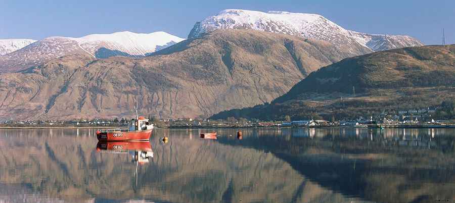
The A82 is the main logistical artery into the West Highlands. Starting from Glasgow, the road follows the western shore of Loch Lomond, where the lanes become significantly narrower with several tight bends that are challenging for HGVs and large motorhomes. Beyond Tarbet, the road climbs towards Rannoch Moor and Glencoe. This sector is prone to high winds and sudden snow accumulation during winter months. Heavy braking is often required on the descent into Glencoe due to steep gradients. Drivers must monitor fuel levels, as service stations are limited between Crianlarich and Fort William.
What are the logistics of the Glenelg to Isle of Skye crossing?
To reach the Isle of Skye via the traditional Kylerhea straits, drivers must use the last manually operated turntable ferry in the world. This route is a technical alternative to the Skye Bridge. The road leading to Glenelg and the subsequent track on the island are single-track roads with passing places (Passing Places). Driving these sections requires constant observation of the road ahead; the rule is to pull into the passing place on your left or wait opposite one on your right to allow oncoming traffic. This ferry operates seasonally and is highly dependent on tidal currents and sea conditions.
What are the driving conditions from Edinburgh to St Andrews?
The route from Edinburgh to St Andrews now utilizes the Queensferry Crossing (M90), the longest three-tower, cable-stayed bridge in the world. Logistically, this bridge is designed to remain open in high winds that previously forced the closure of the old suspension bridge. Beyond the bridge, the route towards St Andrews transitions into regional A and B roads. These coastal roads often feature standing water during heavy rain and agricultural debris on the asphalt. Speed limits are strictly enforced via average speed cameras on several sectors of the connecting motorways.
How to handle single-track roads and passing places?
In the Highlands and rural islands, many roads are not wide enough for two vehicles to pass. These single-track roads are marked with white diamond or square signs indicating "Passing Places." Drivers must not park in these areas as they are essential for traffic flow. If a vehicle behind you is traveling faster, it is mandatory logistical etiquette to pull into a passing place to allow them to overtake. Be alert for free-roaming livestock (sheep and Highland cattle) and deer, especially during dawn and dusk, as they frequently obstruct the roadway in the Glencoe and Skye sectors.