The Upper Cumberland Waterfall Run: Tennessee's Best Backroad Drive
Most people who fly into Nashville never drive east. They do Broadway, they do the honky-tonks, and they fly home. Which means the best driving in Middle Tennessee stays empty, and that is fine by the people who know about it.
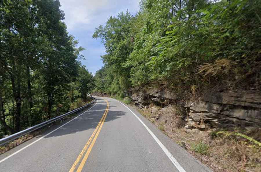
An hour east of the city, the land stops being farmland and starts being the Cumberland Plateau. The escarpment rises several hundred feet in a few miles, and the rivers coming off the top of it have spent the last few million years cutting gorges down through sandstone and limestone. The result is a cluster of waterfalls that would each be a headline attraction anywhere else, connected by two-lane roads that were laid over old wagon routes and never properly straightened.
You can link the best of them into a loop of roughly 200 miles. Here is how it runs.
The spine: I-40 East
You have to start on the interstate, and there is no interesting way around it. I-40 out of Nashville toward Cookeville is the fast, dull part of the day. Take it anyway. It buys you the time you need on the good roads later.
The one thing worth noticing is the climb. Somewhere past Lebanon the grade starts working, and by the time you are near Monterey you have gained real elevation without ever feeling like you were in mountains. That is the plateau. Everything from here runs off the top of it.
Leg one: Burgess Falls
Turn off the interstate near Cookeville and the character changes immediately. The road to Burgess Falls State Park narrows, loses its shoulder, and starts following the contour instead of cutting through it.
Burgess is a staircase. The trail runs past three smaller cascades before it reaches the main drop, which is about 136 feet into a plunge pool at the bottom of the gorge. The stairway that used to take you down to the base has been closed for years after storm damage, so check the park's status page before you commit to the drive. The overlook is still worth it.
Road notes: Two-lane, decent surface, no shoulder to speak of. The last two miles are residential and slow. Parking is a small lot that fills by mid-morning on weekends.
Leg two: Cummins Falls
Twenty minutes north and you are at Cummins Falls, and this is where the day gets serious.
The waterfall itself is around 75 feet, but the reason people come is the swimming hole at the base, which is one of the best in the state. Getting there is a different matter. The gorge route requires a permit, the number issued each day is capped, and it involves river crossings and rock scrambling rather than walking.
It also floods. Water coming off the plateau after upstream rain arrives in the gorge fast and with no warning, and people have died here. The park monitors upstream conditions and closes the gorge when the risk is up. Treat a closure as a closure.
Road notes: The approach is genuinely rural. Narrow, patched asphalt, blind crests, and farm equipment. Cell service is unreliable, so download your maps before you leave Cookeville.
Leg three: TN-111 south, and the Rock Island detour
TN-111 is the fastest way south across the plateau and it is a good road, wide and fast with long sightlines. If you are in a hurry, stay on it.
If you are not, cut west toward Rock Island State Park and Twin Falls, which is the strangest waterfall on this route. It is not fed by a stream in the normal sense. Water seeps through the rock from the Great Falls Dam reservoir and comes pouring out of the cliff face on the far side of the Caney Fork gorge, roughly eighty feet down. It sits two minutes from the parking area, which makes it the best effort-to-reward ratio in the state.
Flow depends entirely on what TVA is doing with the dam that week, so it is either spectacular or a trickle. The currents below it are dangerous. Do not swim there.
Road notes: TN-70S and the park approach roads are old two-lane with tight radius corners and some genuinely poor camber. Take it slowly in the wet.
Leg four: Fall Creek Falls
The anchor of the loop. At 256 feet, Fall Creek Falls is the tallest free-falling waterfall east of the Mississippi, and the park around it is the most visited in Tennessee.
The road in crosses the plateau top, which is flat, wooded and monotonous, and then the park road starts working along the gorge rim. There are overlooks scattered the whole way. Cane Creek Falls and Cane Creek Cascades are both inside the park and both worth stopping for.
Autumn changes the calculation here. Flow drops noticeably in a dry October, so the height impresses more than the volume does. Spring is when this one actually roars.
Road notes: Good surface inside the park, but narrow, winding, and full of people who are looking at the trees instead of the road. Deer at dawn and dusk are a real hazard on the plateau, not a theoretical one.
Leg five: Ozone Falls, and back to I-40
On the way home, Ozone Falls sits just off I-40 in Cumberland County. A 110-foot plunge into a rock amphitheatre that looks like a film set, which is appropriate, because parts of the 1994 Jungle Book were shot there.
The overlook is a very short walk from the pull-off. Getting down to the base is a steep scramble on rock that stays wet and slick year-round. The turn is easy to miss and the parking area is tiny.
What the drive actually demands
This is not a dangerous road in the Bolivian sense. Nobody is going off a cliff. But it is a long day of concentration, and the specific risks are consistent:
- Wet limestone. Not just on the trails. Road surfaces in the gorges stay damp under tree cover well after the rain stops.
- No shoulders. Most of these two-lanes drop straight off the asphalt into a ditch or a rock face.
- Deer, and a lot of them, at either end of the day.
- Dead cell service across large sections of the plateau.
- Fuel gaps. Fill up in Cookeville or Sparta. Do not assume there is a station near the next trailhead.
Done properly, the full loop is twelve hours door to door from Nashville, of which four or five are behind the wheel and the rest are on foot.
Driving it yourself, or not
The self-drive version is cheaper and more flexible, and if you enjoy the roads for their own sake it is obviously the point of the exercise.
The honest tradeoff is that you are the one navigating unfamiliar rural roads with patchy signal, you are the one who has to stay sharp for the last ninety minutes back into Nashville after a full day of hiking, and you will lose some of the day working out which trailhead, which lot, and whether the section you wanted is even open. For visitors without a rental car the whole loop is simply off the table.
The alternative is going with somebody who has already driven it. Guided hiking and waterfall tours from Nashville handle the pickup, the routing and the current trail conditions, which matters more than it sounds like it should when three of the five stops on this loop have closures that change week to week.
The short version
Leave Nashville before eight. Check every park's status page the morning you go, not the night before. Spring for water, November for colour, winter for empty trails and clear sightlines through bare trees.
And put more fuel in the tank than you think the day needs. Out here the gaps between stations are longer than the map suggests.