Earth Observation Satellites: Opportunities And Applications
Space exploration contributes to the development of technologies regularly introduced into various areas of our lives. Today, thanks to satellite imagery, we can study environmental conditions, events, or activities that previously seemed impossible. These opportunities are actively used in geology, military affairs, business, ecology, agriculture, etc. At the same time, using satellite pictures of Earth is crucial for humanity's safe and sustainable development. This article looks closely at how space technology can improve our lives.

How Does Earth Observation Work?
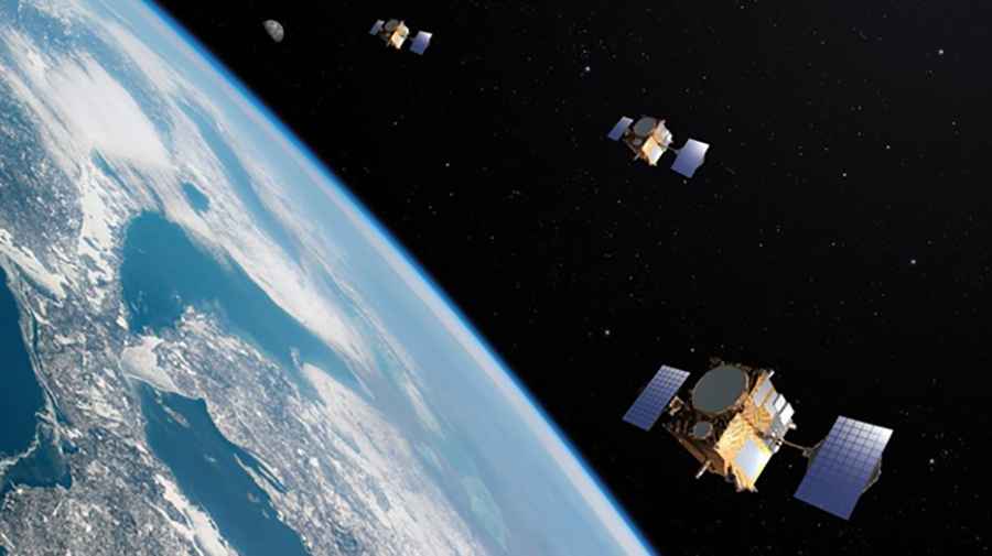
Earth observation involves using remote sensing technologies to collect information about what is happening on our planet, often with the assistance of a satellite observation imagery tool. In most cases, we are talking about obtaining a live satellite view of Earth using satellite sensors. However, ground sensors can also be used for research. Moreover, combining the capabilities of different types of monitoring allows you to get the most significant research results.
Satellites revolve around the Earth in different orbits, offering different perspectives of the planet. At the same time, many devices have limited power and memory, which is why they cannot provide information continuously. Therefore, such satellites often collect data in small amounts during a specific period. Other devices may provide more regular data collection. You can download satellite data while the satellite is in the field of view of the ground station. As a result, in some cases, between the time when satellite images of Earth are taken and when they are in our hands, it can take several minutes to several weeks or even months. However, technologies are constantly evolving, due to which the period for obtaining information is reduced, and the efficiency of using Earth observation satellites is increasing. The cost of data varies depending on the data provider.
Types Of Earth Observation Satellite Sensors
Different types of satellite sensors can be used to obtain specific data. In general, the following types of sensors can be distinguished.
Optical Sensors
These sensors are used for shooting in the visible and infrared ranges, and image resolution ranges from submeter to two meters. They are suitable for surveying linear objects such as roads or pipelines. The main advantage of optical sensors is the easy production and deployment and easy data processing due to their popularity. At the same time, these devices do not have a radiation source, so they can only take pictures during the day and in cloudless weather.
Thermal Sensors
Objects above absolute zero have infrared radiation and may transmit or reflect radiation from other things. The higher the temperature of the object, the higher the radiation. Thermal imaging sensors measure this indicator; therefore, they can be used even at night. These devices can monitor forest fires, weather, climate changes, drought, etc. At the same time, unlike optical sensors, thermal imaging sensors have a much lower resolution, so this type of image is not the main one for satellite analytics providers.
Radar Sensors
Radar sensors are suitable for detecting both moving and stationary objects. Low-frequency radars make it possible to detect objects with a high dielectric constant, such as trains or trucks, in extreme weather conditions. In particular, they are therefore suitable for collision avoidance during the operation of moving objects, such as loading equipment or industrial vehicles. High-frequency sensors recognize a more comprehensive range of objects and are more reliable than ultrasonic sensors for outdoor use.
LiDAR Sensors
LiDAR means light detection and ranging. So, these sensors operate in the visible to near-infrared range. They measure the strength and time of reflection of rays from an object and the change in wavelength. Thus, with the help of lidar sensors, we can measure the distance to the object and its state. For example, they are suitable for determining the thickness of an ice sheet, the height of trees, or wind speed.
The Potential Application Of Earth Observation Data
Satellite technologies can be used for different purposes. Moreover, the industry is constantly evolving, and the range of applications is only growing. Already today, live satellite imagery is available not only to large companies and government agencies but also, for example, to small farms, which can significantly increase production efficiency with their help. Here are just a few of the uses for these technologies:
- weather forecasting;
- monitoring and elimination of consequences of natural disasters, including earthquakes, floods, and fires;
- natural resource management for more sustainable agricultural and industrial development;
- climate change analysis;
- remote monitoring of agricultural work;
- disease control;
- infrastructure planning;
- tracking biodiversity and changes in the state of wildlife;
- GIS-based mapping.
In general, combining satellite analytics with other technologies and monitoring tools opens up almost limitless possibilities for using Earth observation data.
Thus, Earth observation satellites are a dynamic and growing industry that allows us to solve various tasks: from monitoring small agricultural lands to urban planning and disaster management. Moreover, providers of live satellite images offer a wide range of cost-effective services, even at the level of small private entrepreneurs. The growth in technology availability also contributes to the expansion of this market. At the same time, the use of satellite technologies is beneficial not only economically but also environmentally. They make it possible to optimize the use of natural resources and monitor the state of the environment, adjusting activities to minimize damage to it.